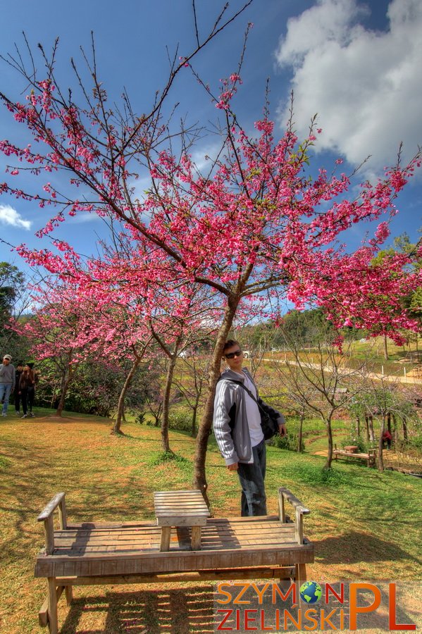
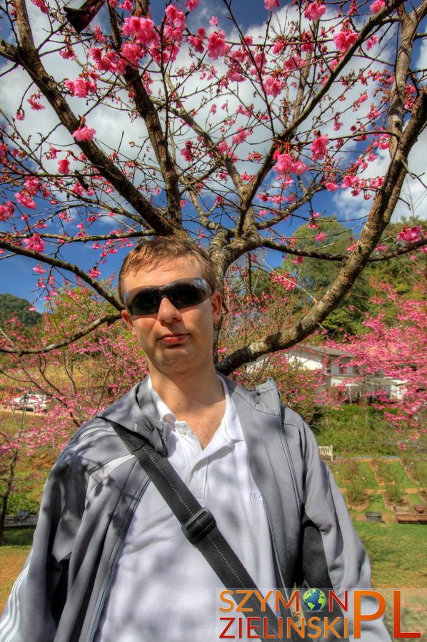
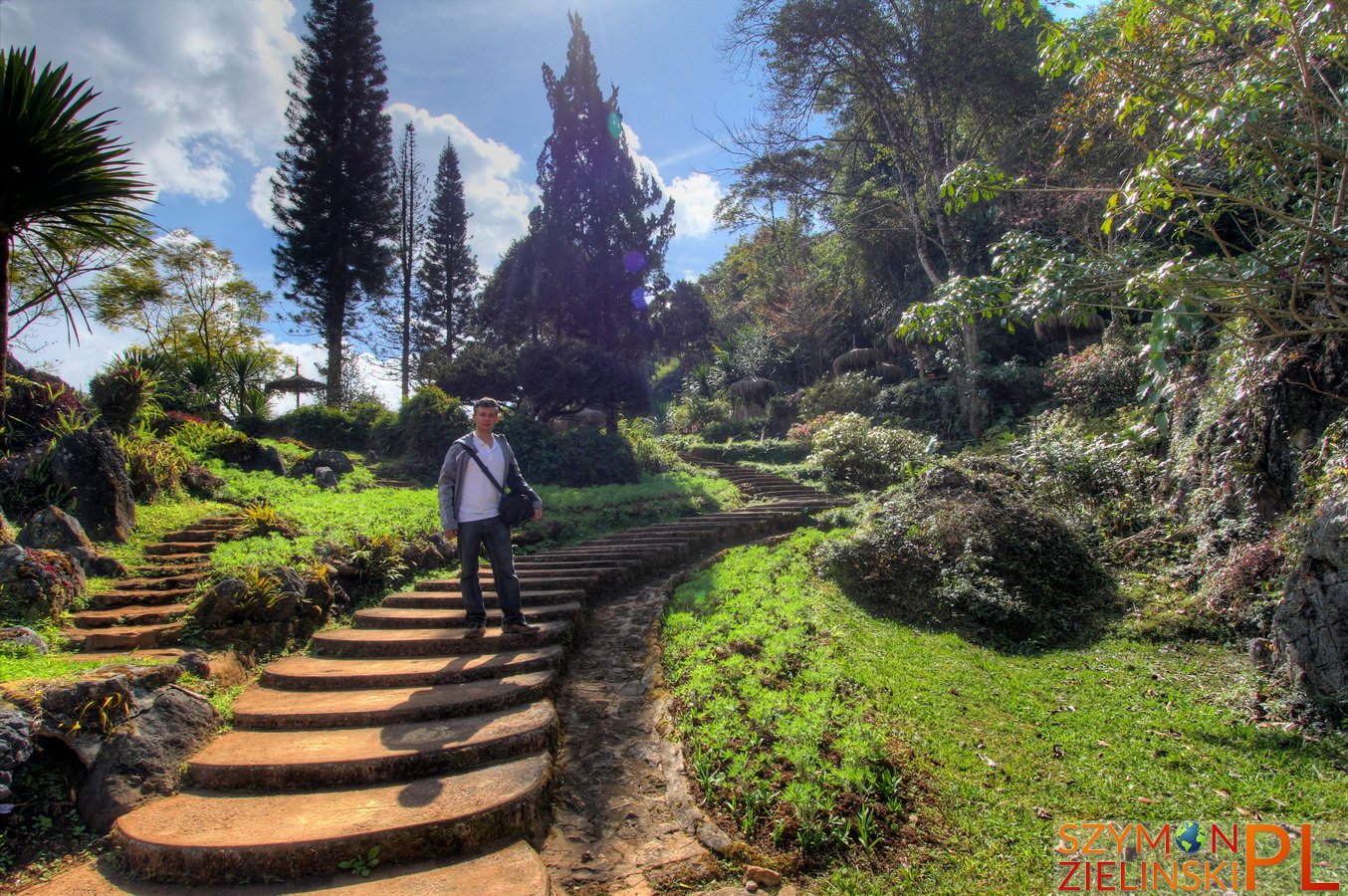
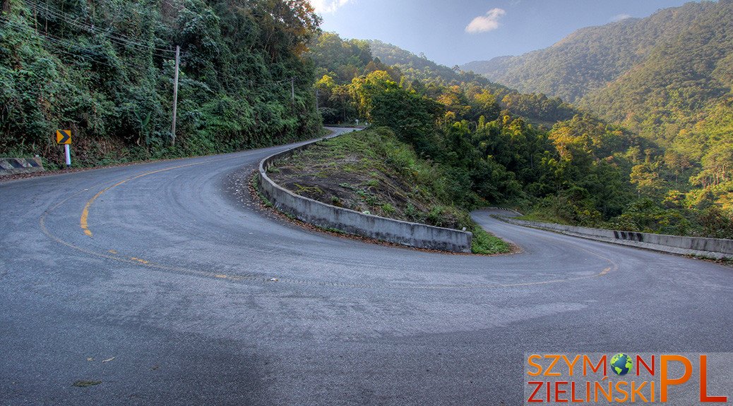
Today I will write about my favourite place in Thailand (so far) – Doi Ang Khang. I personally love mountains, and Doi Ang Khang is the coldest place in Thailand. It is not the highest mountain in the country (1928 MSL) but it’s here where they observed negative temperatures (-2, -3 degrees Celsius). Doi Ang Khang is located in Chiang Mai province, about 3 hours drive from both Chiang Mai and Chiang Rai city (so one can start the trip from either city). It is possible to get there using public transport (it is time-consuming and inconvenient) but it is much better to hire your own wheels. It is not too popular, especially among foreigners – it seems that only local tourists (mostly from the northern parts of the country) come here. Another important factor is the fact that the road to Doi Ang Khang is the most dangerous in all of Thailand. Only the last 10 km to the summit are so dangerous (especially the very last 2 km – road is extremely steep). Buses can not go there – the road is so windy (180 degrees serpentines!) that regular buses haven’t got enough space to make the turn. Even passenger cars get tired on the way (it is not uncommon to smell hot engine oil on the way) – it is much better to use 4WD. I have come here three times – twice on my faithful motorbike (125cc) and once with a car. Making this trip on a motorbike is truly unforgettable – and I prefer this kind of transport.
Upon arrival, there are at least two camping grounds – one is located at the small army base, and this is the one that I recommend. The reason for that is quite simple: soldiers have the best view at Doi Ang Khang (renting a tent starts at 400 baht for 2-people tent, about 9 euro). Those more picky can stay at resorts and hotels at the village next to Royal Agricultural Station – but in the season (December until February) it may be very hard to get a room without prior reservation.
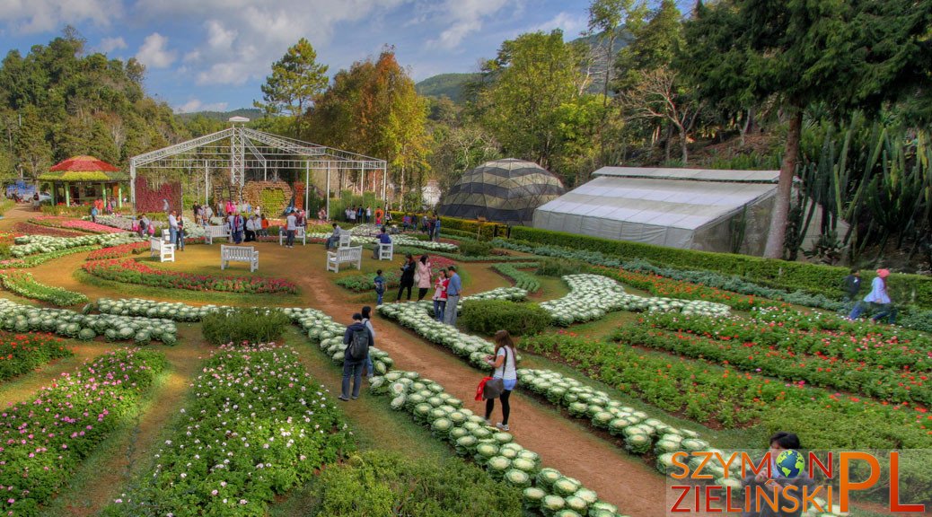
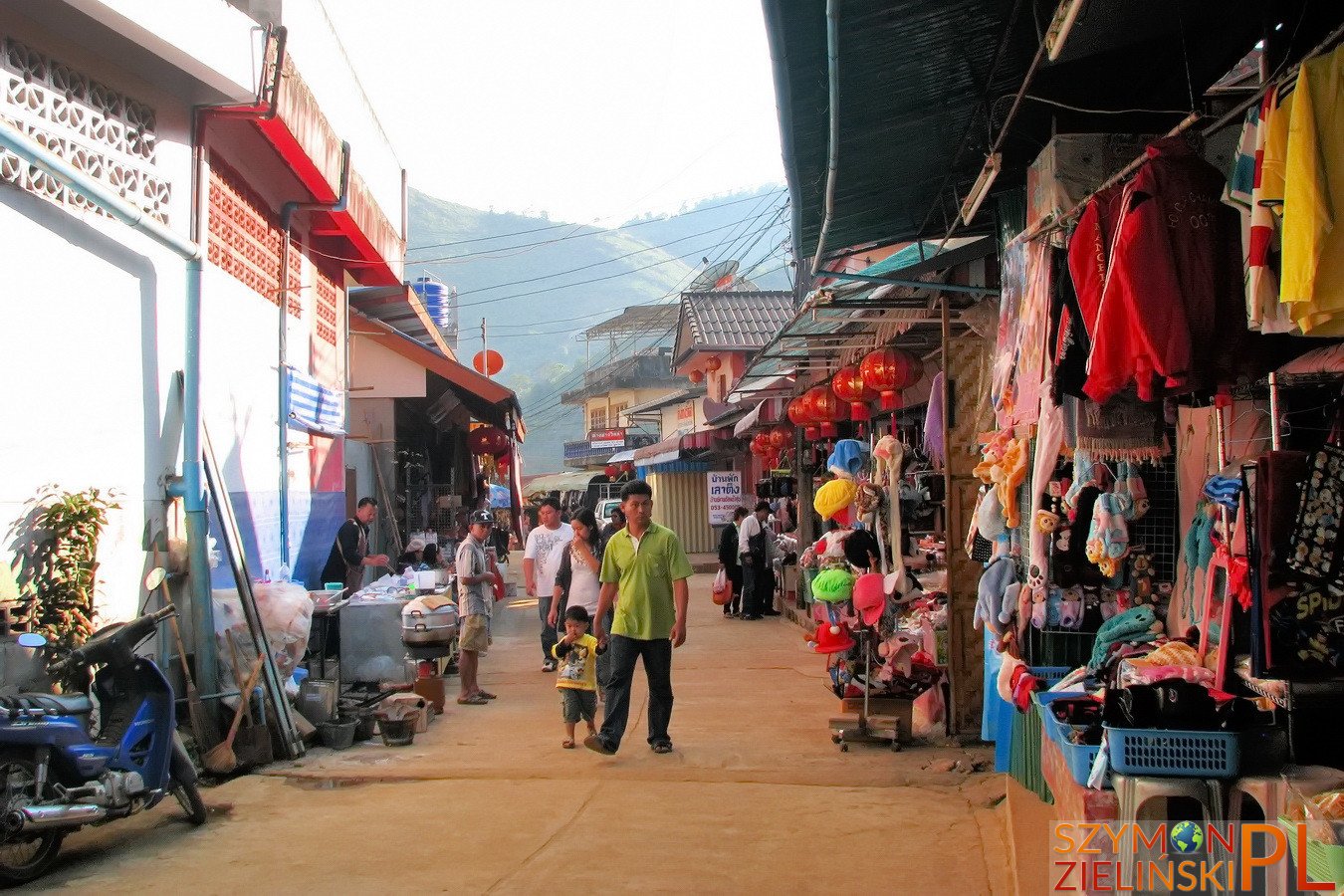
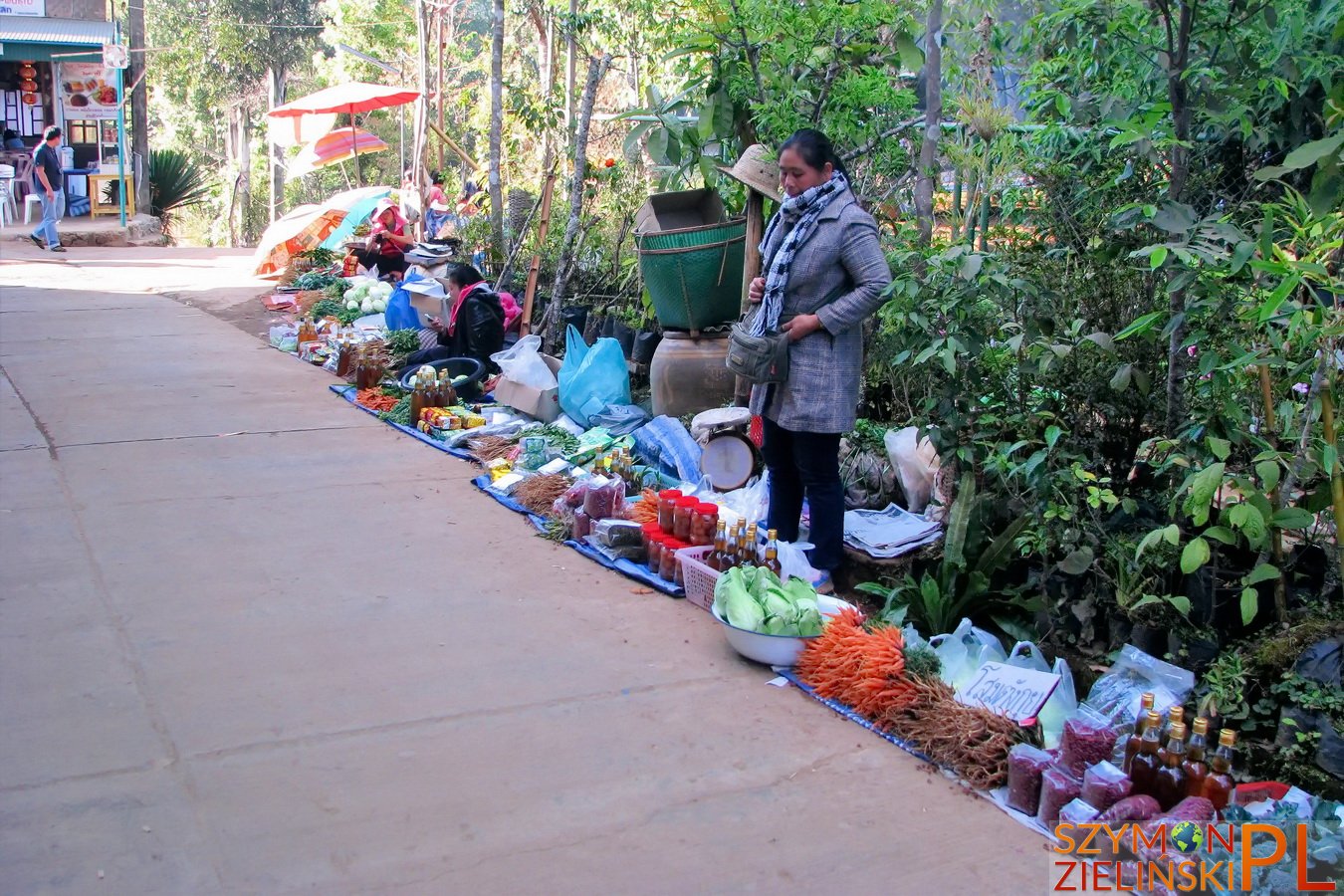
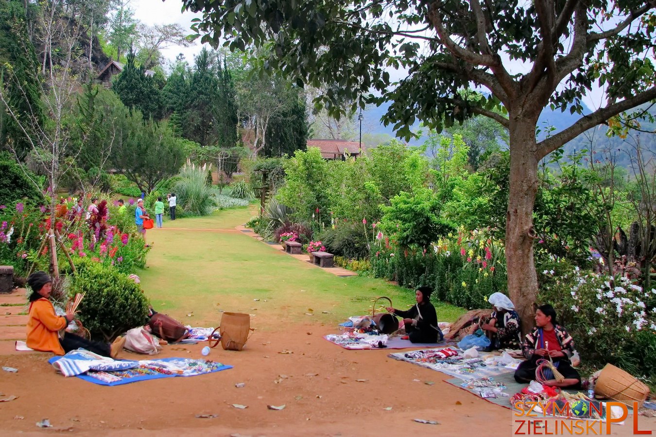
First day I recommend to spend enjoying the view and climate around the summit as well as visiting the village. The village is quite interesting – the locals who live there come from various hill tribes and countries (Chinese, Burmese, Thais) and therefore it offers diversified cuisine.
In the evening I climbed up to the top of Doi Ang Khang to capture the sunset. At dawn, again I went all the way there (not very far from camping ground though) to see the sunrise. Afterwards, I continued towards Royal Agricultural Station. But I will cover it in the next post.
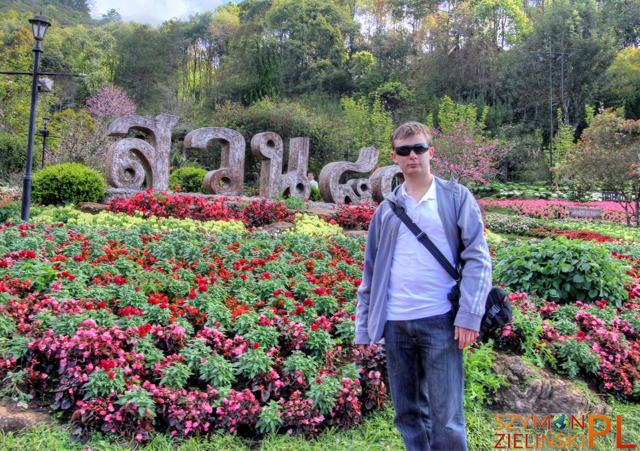
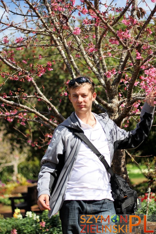
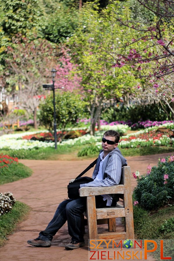
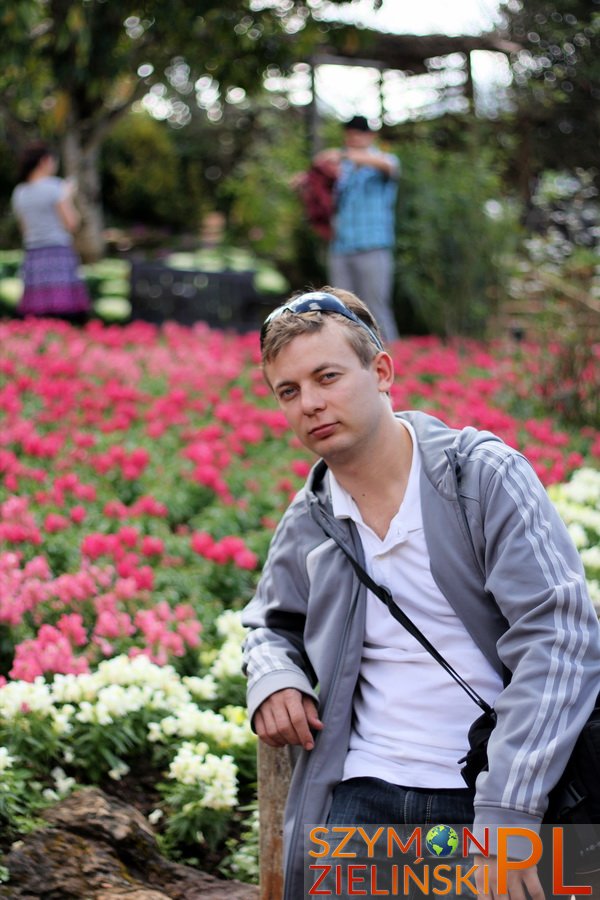
One last thing to keep in mind – the photos in the gallery come from all three different trips to Doi Ang Khang. Some of them were taken with my previous camera (non-SLR) and on top of things, I used to have long hair. Well then, enjoy the photos!
Surroundings of Doi Ang Khang (A – army base and camp ground, B – Royal Agricultural Station, C – Nor Lae village at the border with Burma/Myanmar)
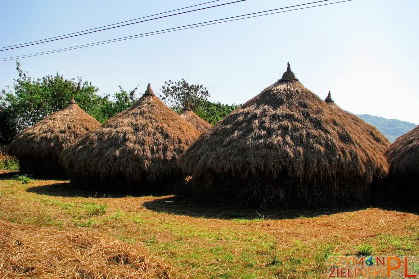
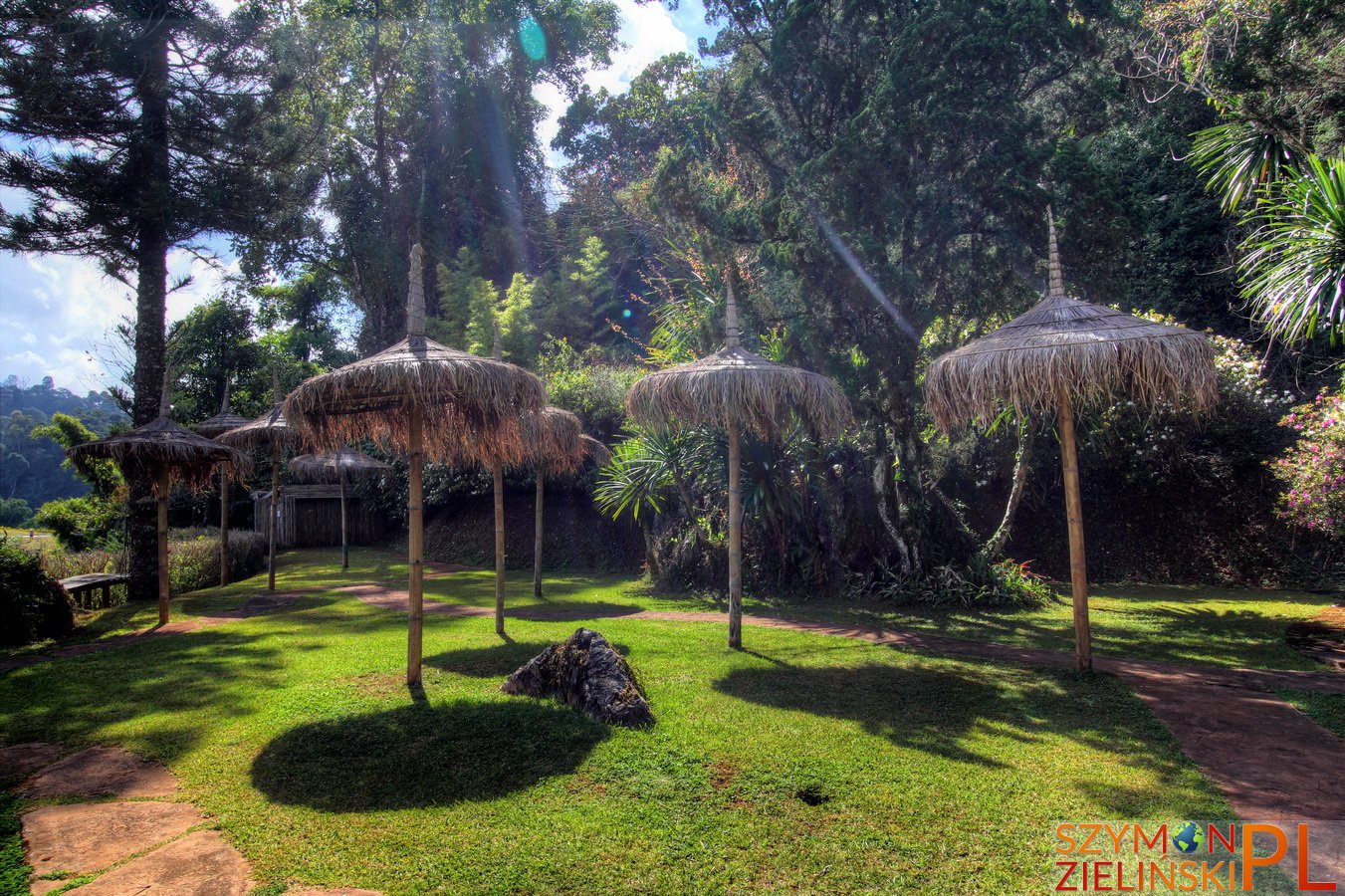
Hay “huts” on the way to Doi Ang Khang, Chiang Mai province, Thailand.
“Domki” ze słomy, po drodze do Doi Ang Khang, prowincja Chiang Mai, Tajlandia.
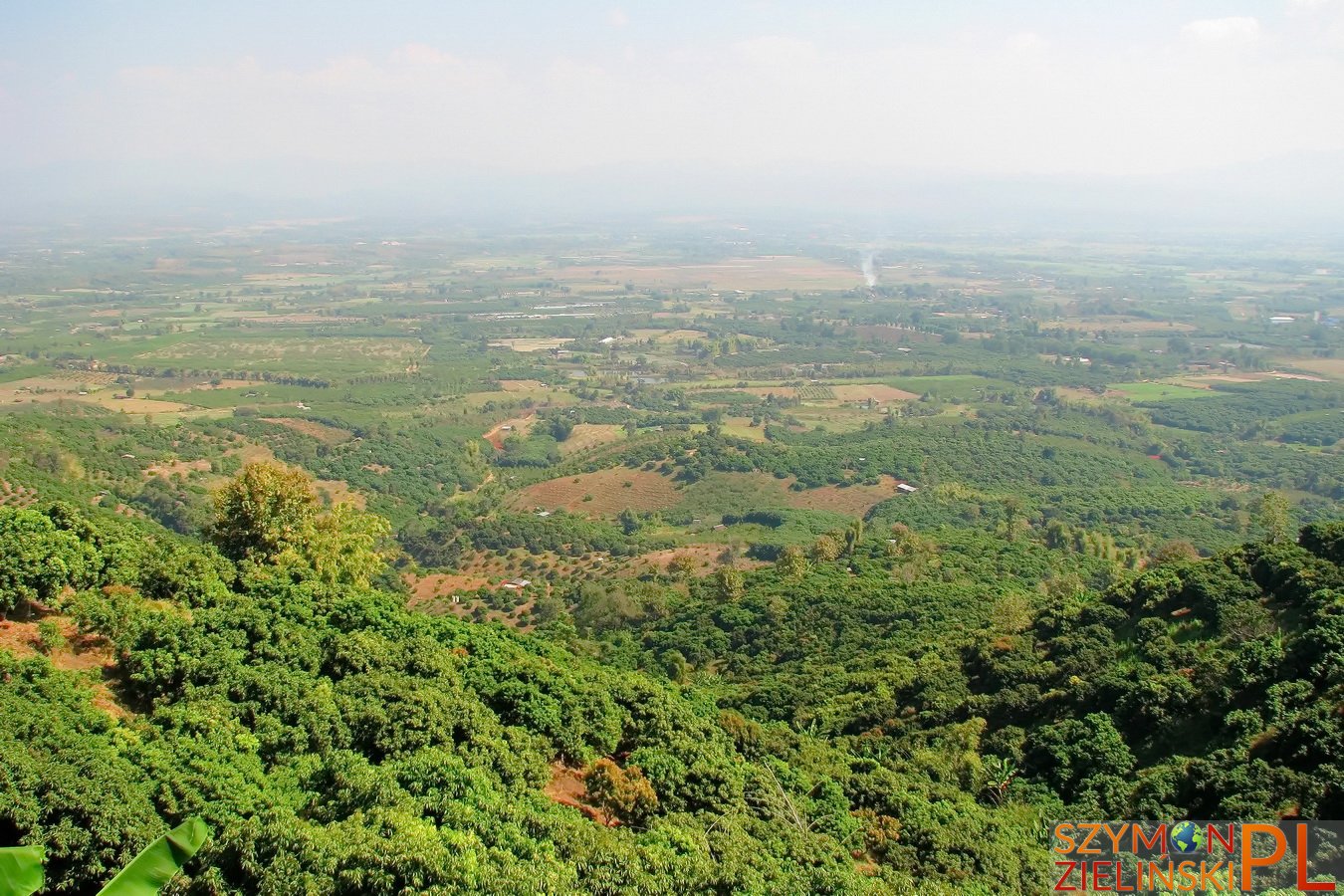
One of the available views. Doi Ang Khang, Chiang Mai province, Thailand.
Jeden z widoków po drodze. Doi Ang Khang, prowincja Chiang Mai, Tajlandia.

The most dangerous road in Thailand – NOT the most dangerous part of it! Doi Ang Khang, Chiang Mai province, Thailand.
Najbardziej niebezpieczna droga w Tajlandii – NIE najbardziej niebezpieczny jej odcinek! Doi Ang Khang, prowincja Chiang Mai, Tajlandia.
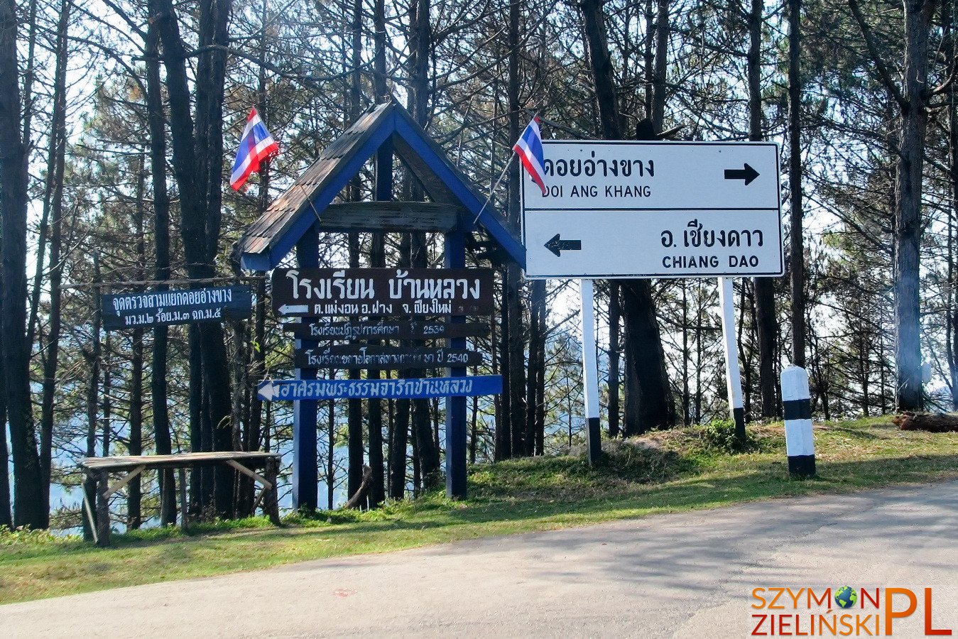
Almost there! Doi Ang Khang, Chiang Mai province, Thailand.
Już prawie na miejscu! Doi Ang Khang, prowincja Chiang Mai, Tajlandia.
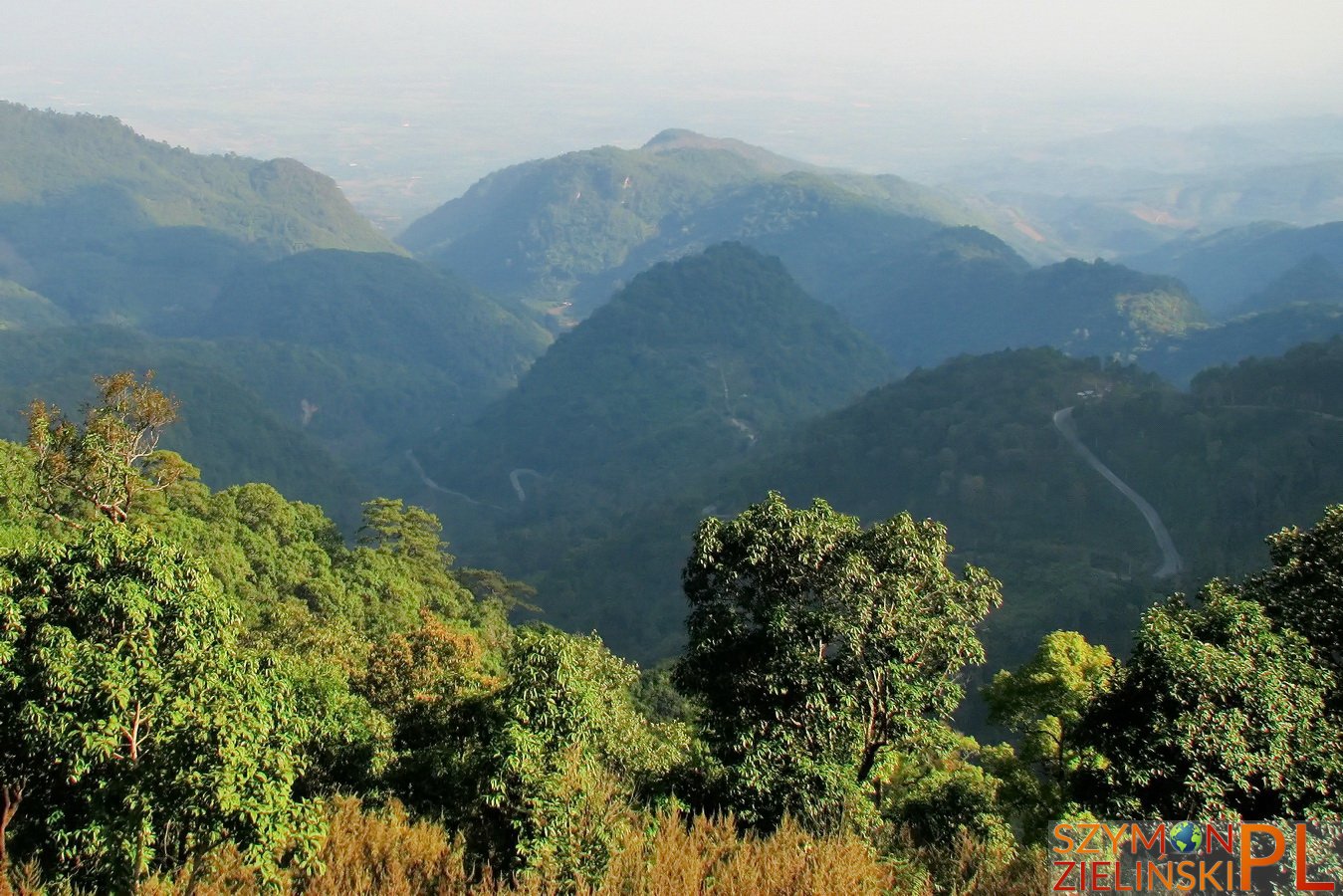
The view from army base – you can see the windy road. Doi Ang Khang, Chiang Mai province, Thailand.
Widok z bazy wojskowej – można zobaczyć krętą drogę. Doi Ang Khang, prowincja Chiang Mai, Tajlandia.
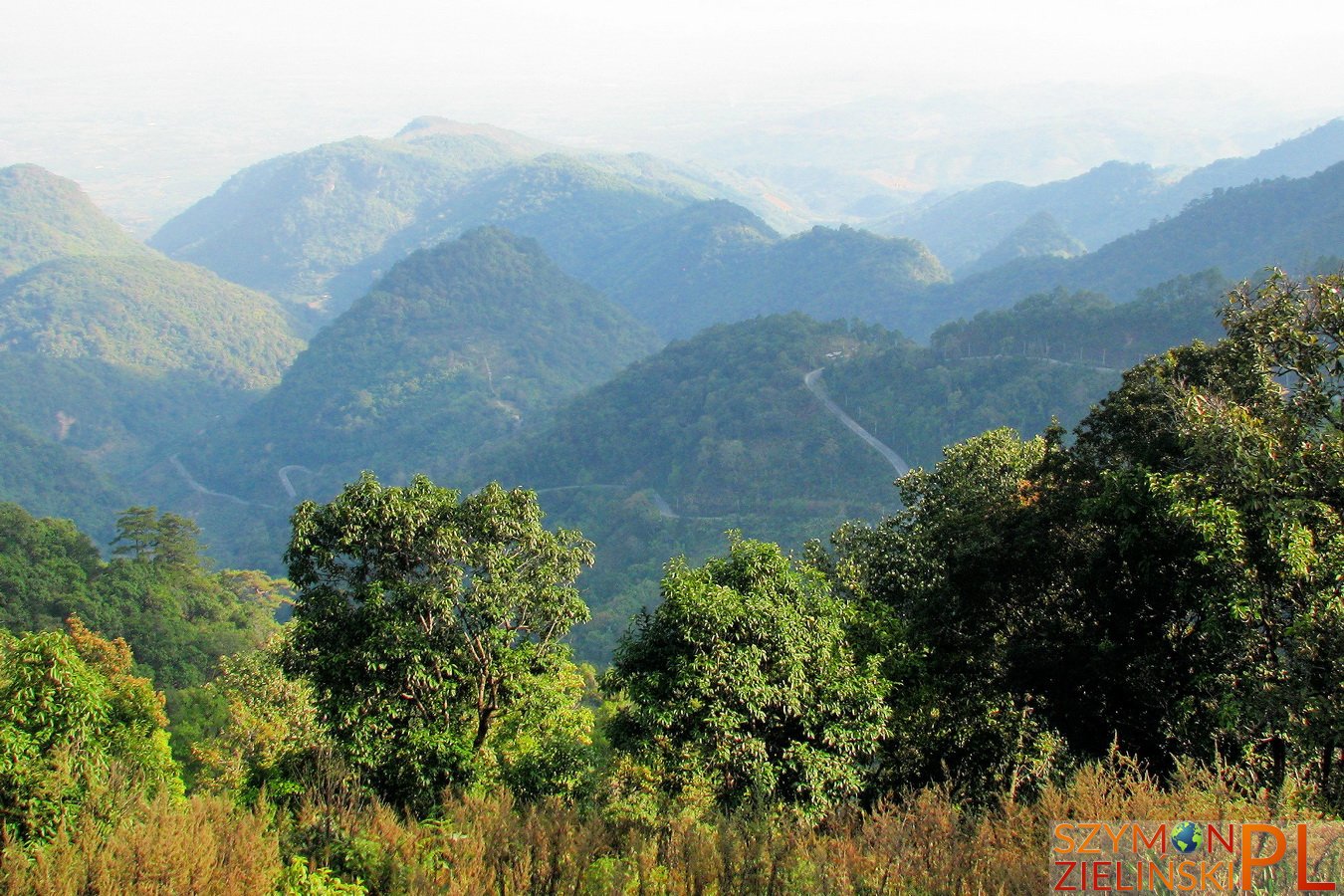
The view from army base – you can see the windy road. Doi Ang Khang, Chiang Mai province, Thailand.
Widok z bazy wojskowej – można zobaczyć krętą drogę. Doi Ang Khang, prowincja Chiang Mai, Tajlandia.
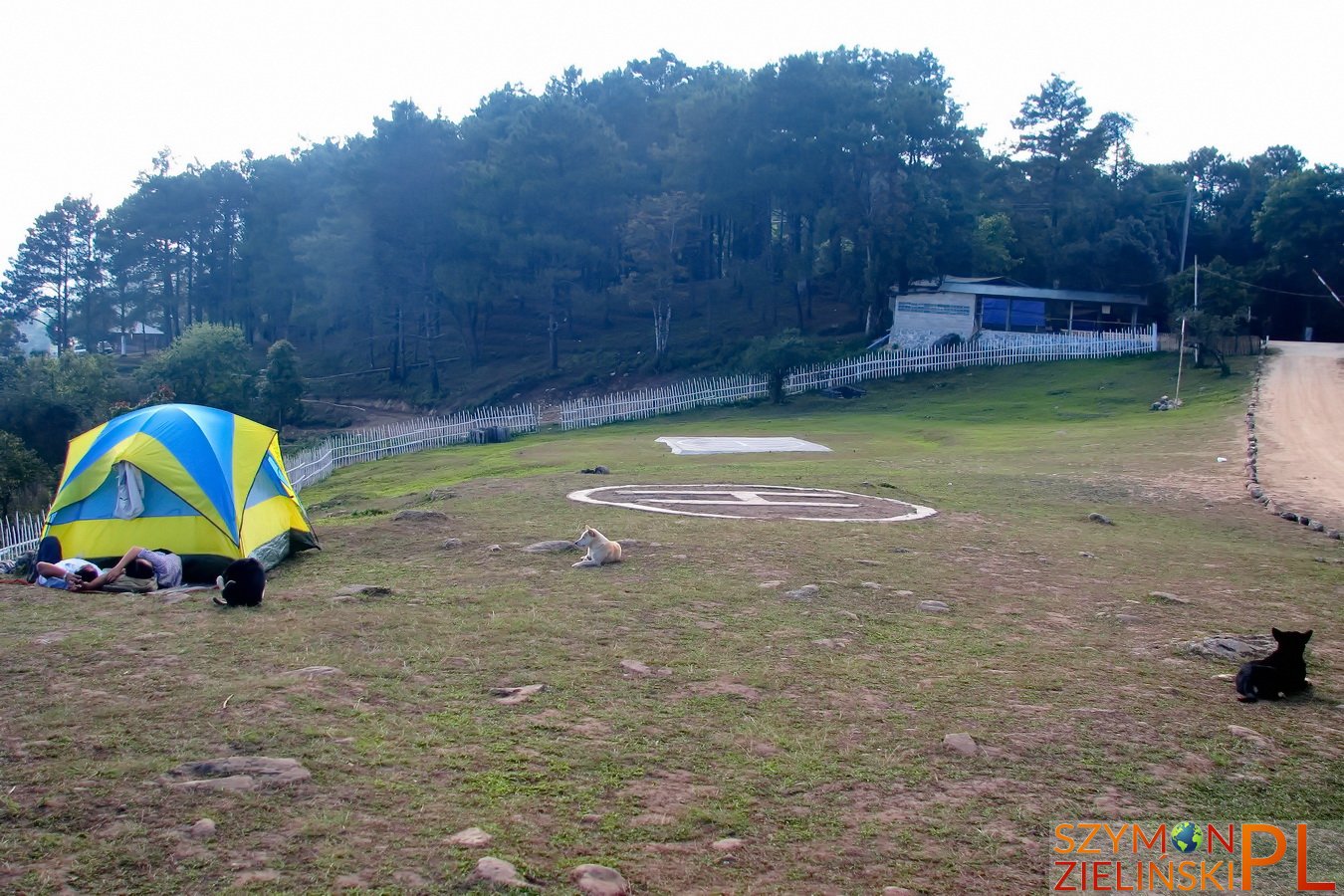
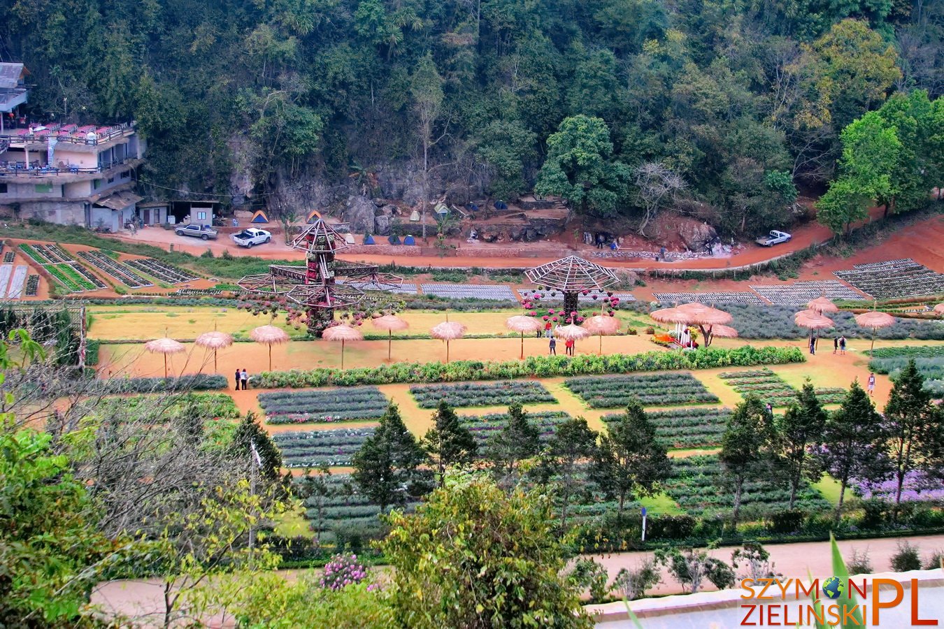
Army base and camp ground. Doi Ang Khang, Chiang Mai province, Thailand.
Baza wojskowa i pole namiotowe. Doi Ang Khang, prowincja Chiang Mai, Tajlandia.
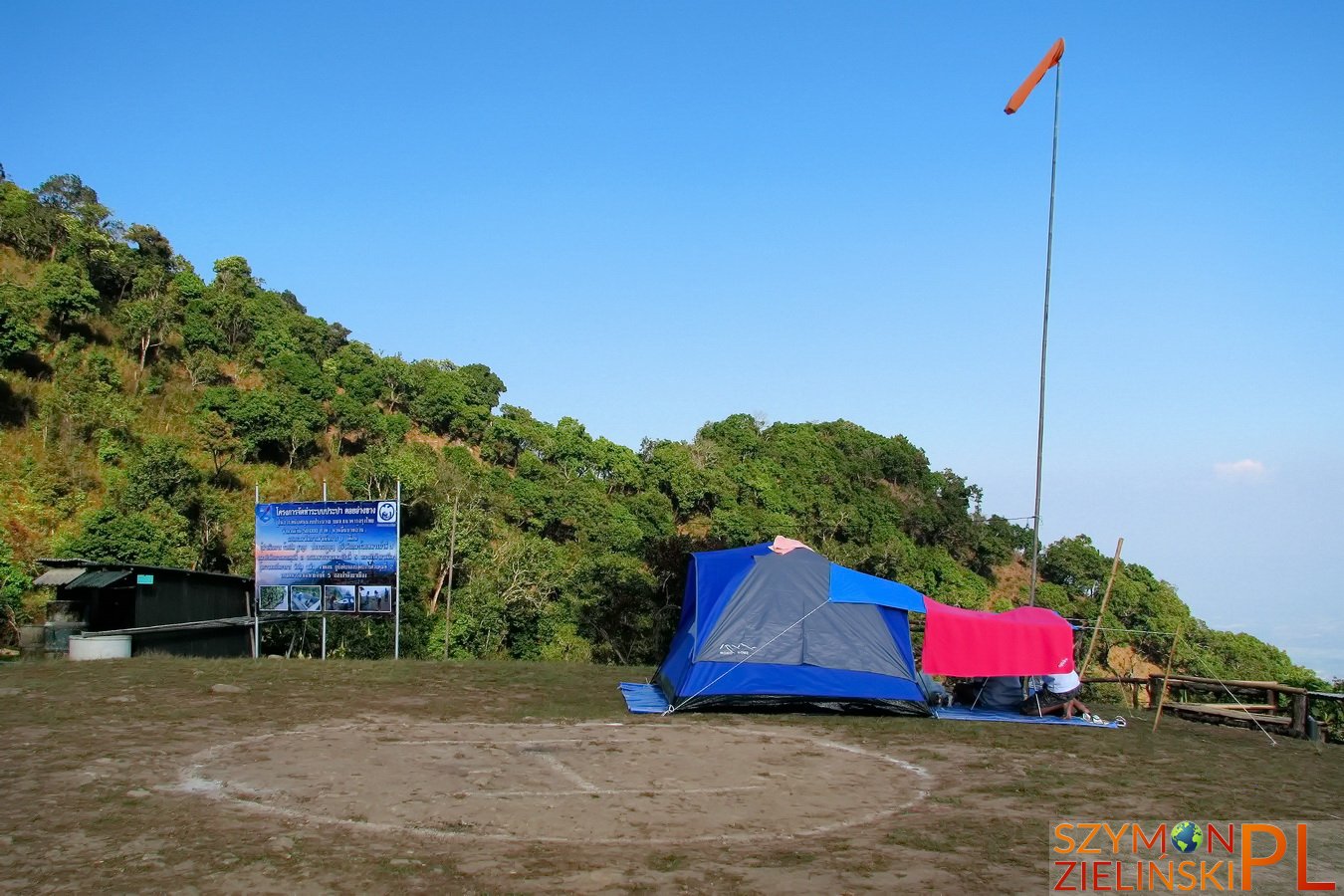
Army base and camp ground. Doi Ang Khang, Chiang Mai province, Thailand.
Baza wojskowa i pole namiotowe. Doi Ang Khang, prowincja Chiang Mai, Tajlandia.
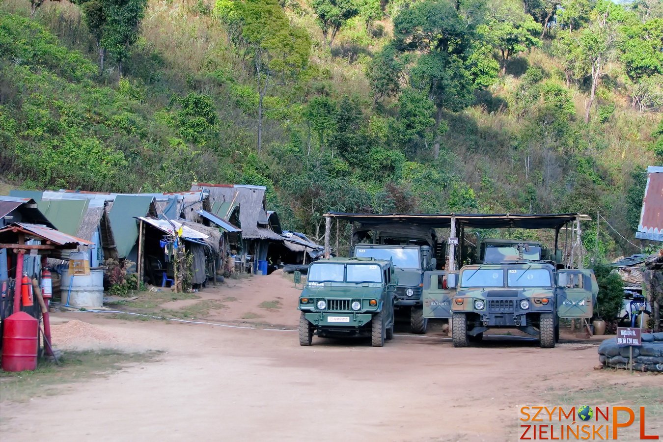
Army base. Doi Ang Khang, Chiang Mai province, Thailand.
Baza wojskowa. Doi Ang Khang, prowincja Chiang Mai, Tajlandia.
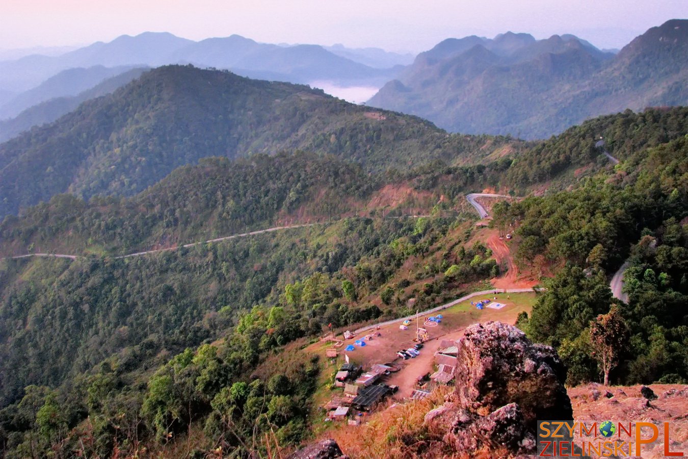
The view of army base and camp ground during sunrise. Doi Ang Khang, Chiang Mai province, Thailand.
Widok na bazę wojskową i pole namiotowe przy wschodzie słońca. Doi Ang Khang, prowincja Chiang Mai, Tajlandia.
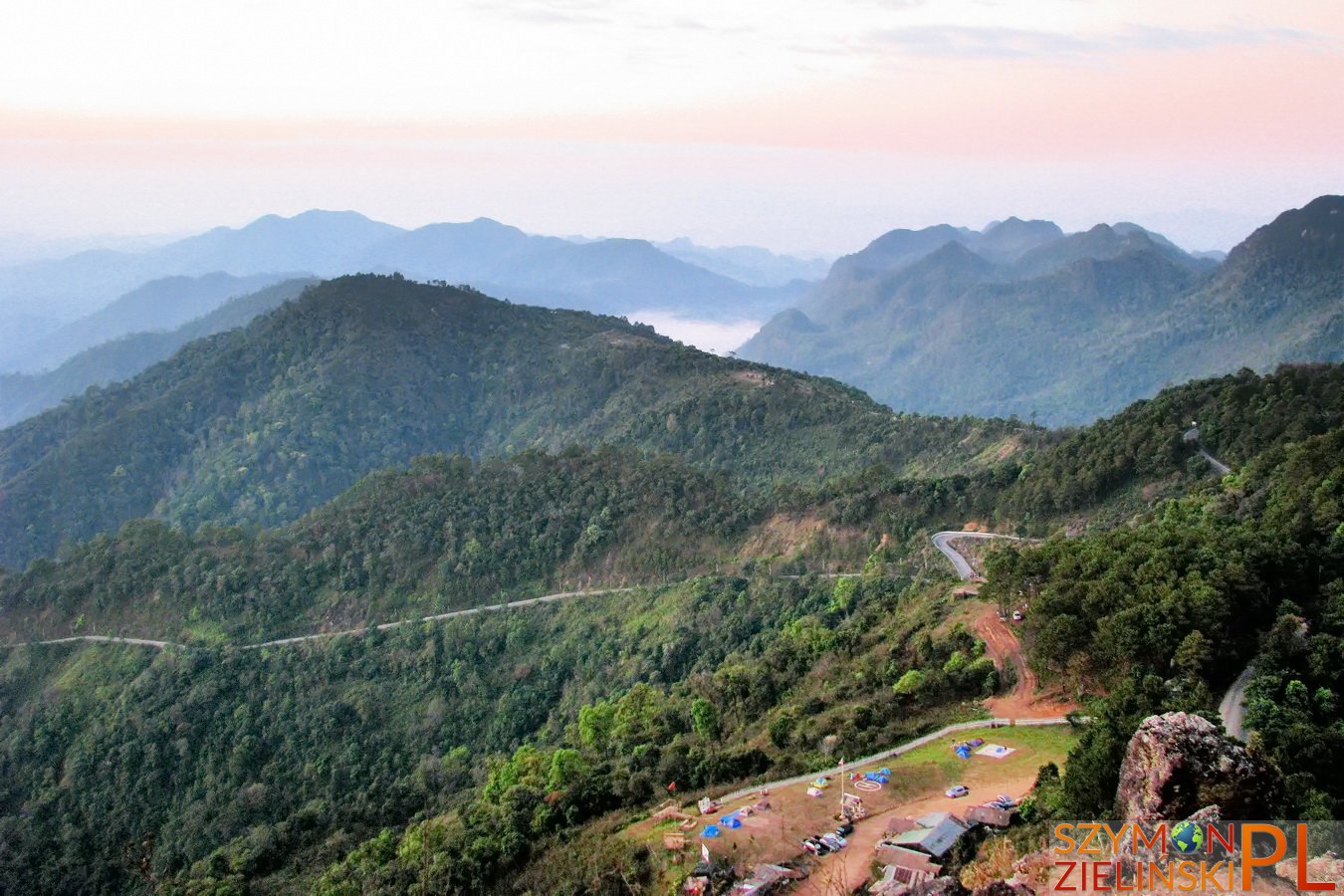
The view of army base and camp ground during sunrise. Doi Ang Khang, Chiang Mai province, Thailand.
Widok na bazę wojskową i pole namiotowe przy wschodzie słońca. Doi Ang Khang, prowincja Chiang Mai, Tajlandia.
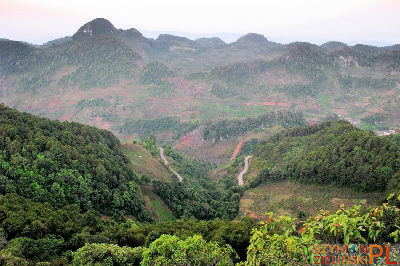
The view on the other side – behind those mountains is Myanmar (Burma). Doi Ang Khang, Chiang Mai province, Thailand.
Widok na drugą stronę – za tymi górami jest już Myanmar (Birma). Doi Ang Khang, prowincja Chiang Mai, Tajlandia.
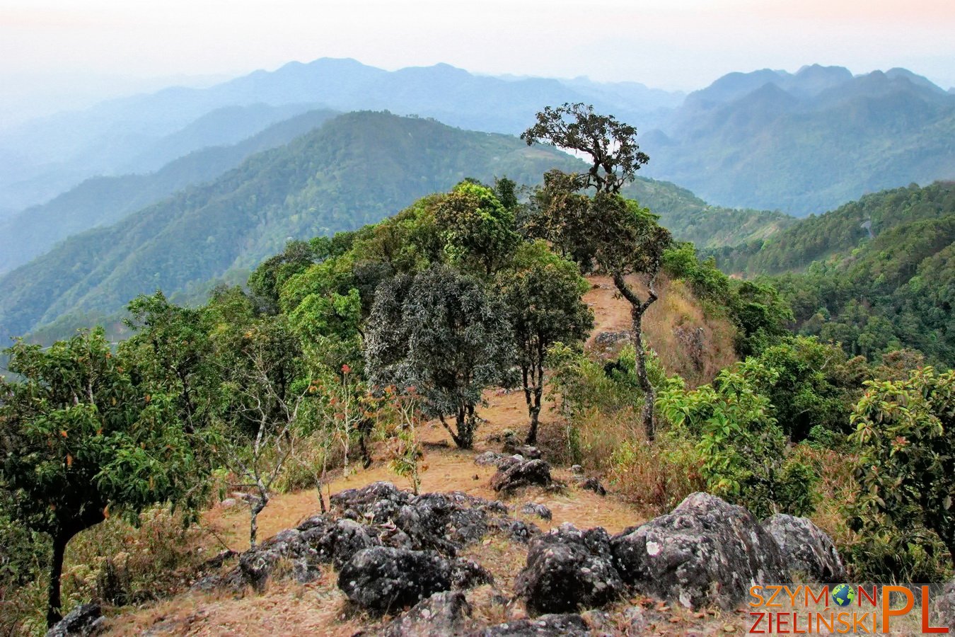
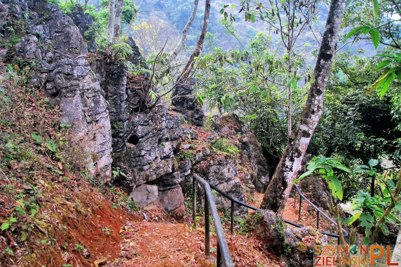
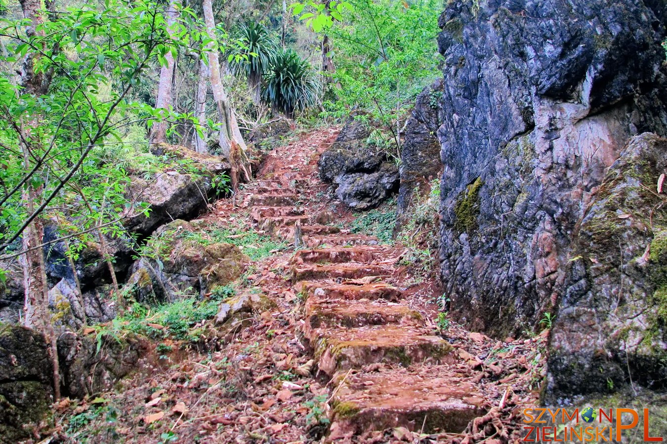
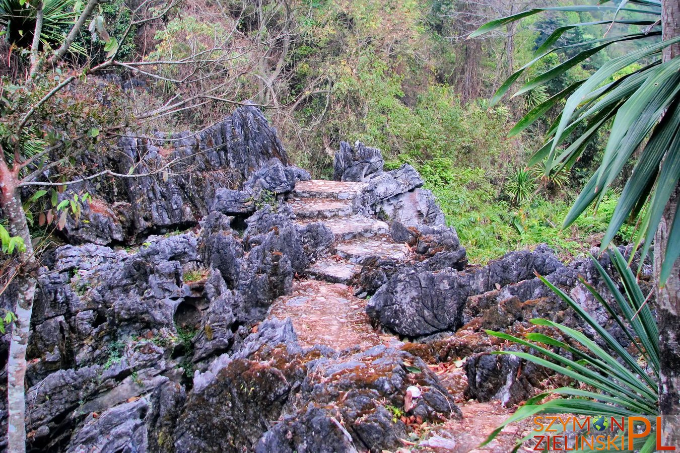
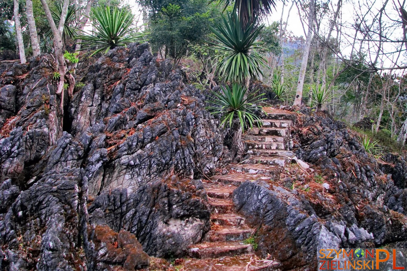
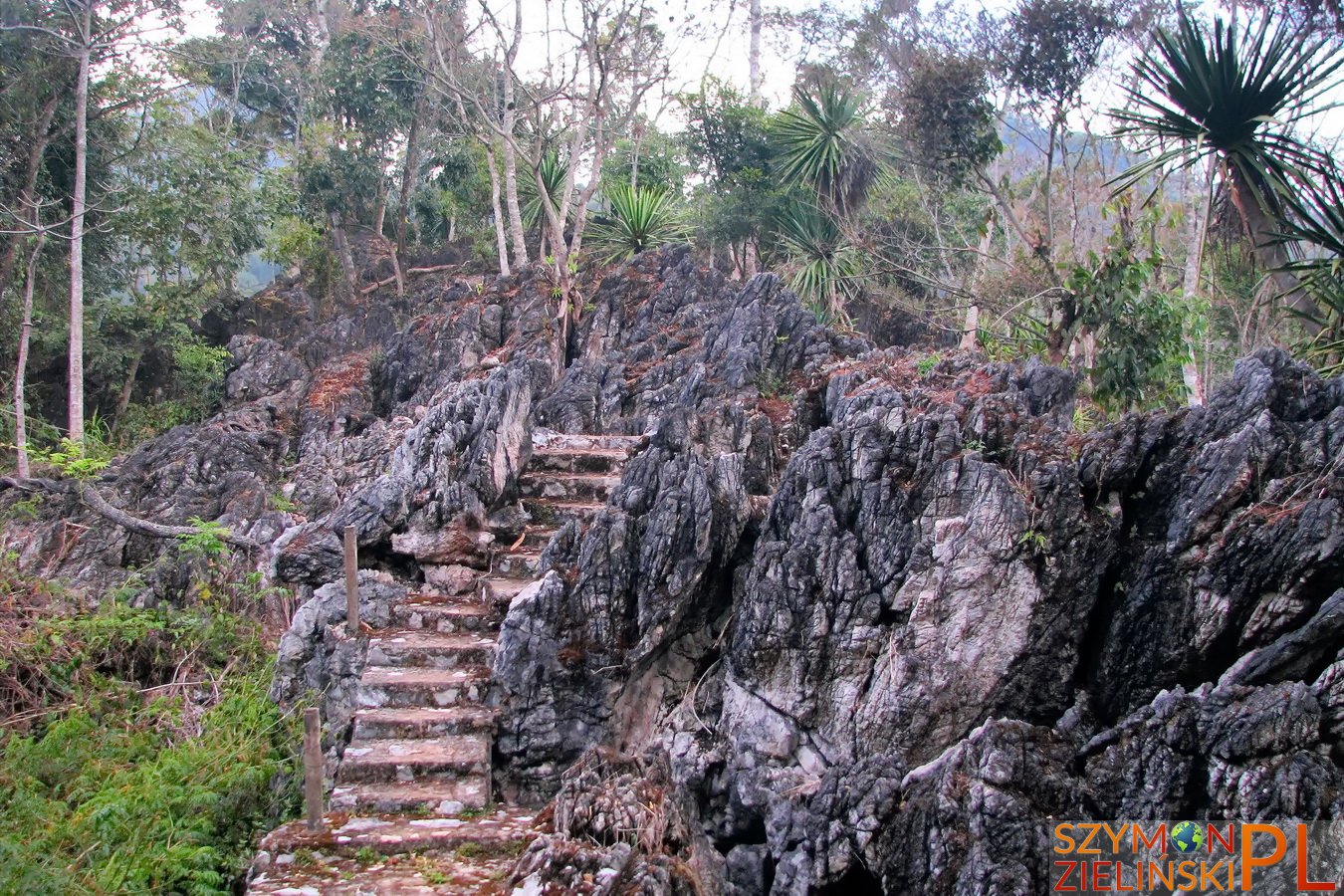
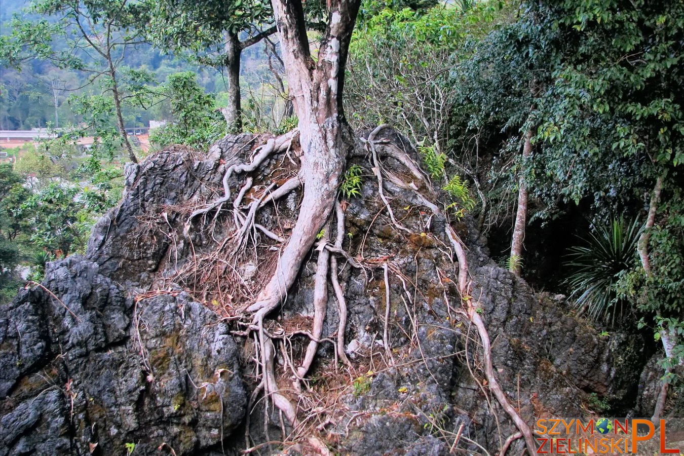
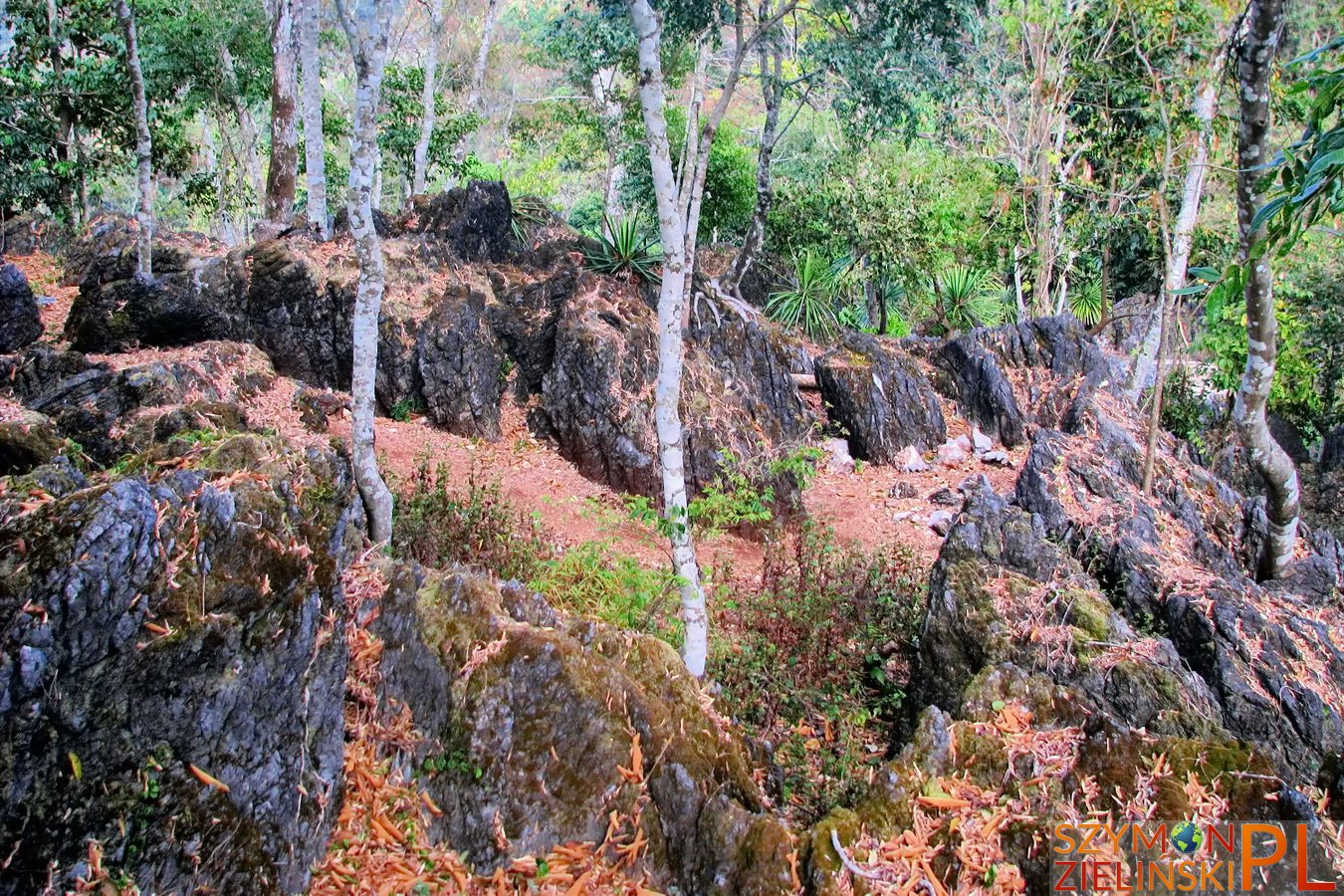
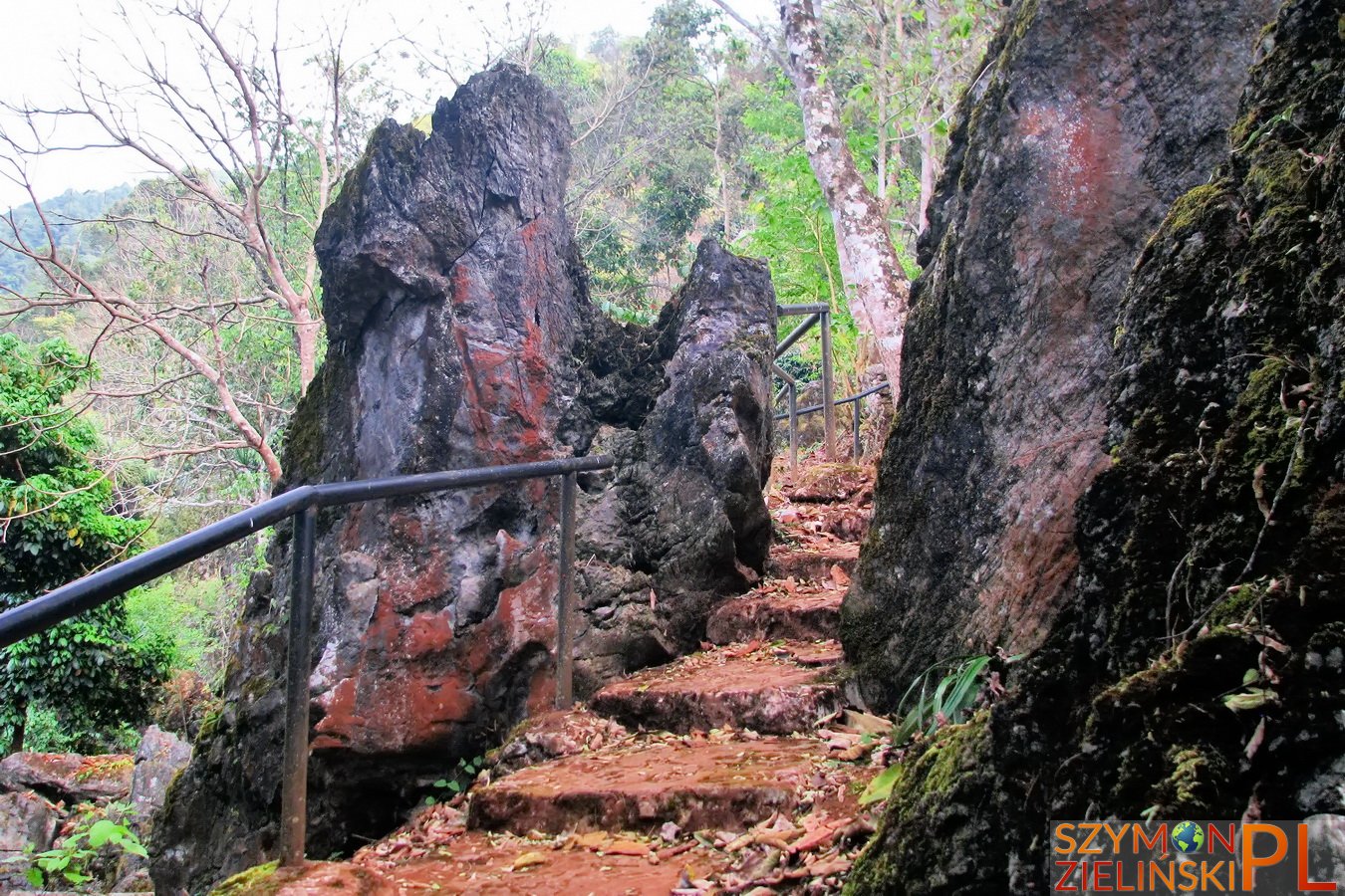
Around the summit of Doi Ang Khang, Chiang Mai province, Thailand.
Okolice szczytu Doi Ang Khang, prowincja Chiang Mai, Tajlandia.
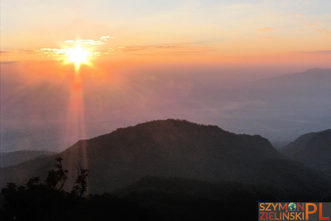
Sunrise at Doi Ang Khang, Chiang Mai province, Thailand.
Wschód słońca widziany z Doi Ang Khang, prowincja Chiang Mai, Tajlandia.
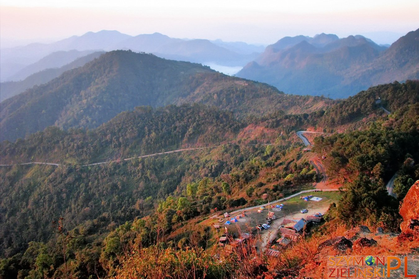
The view of army base and camp ground during sunrise. Doi Ang Khang, Chiang Mai province, Thailand.
Widok na bazę wojskową i pole namiotowe przy wschodzie słońca. Doi Ang Khang, prowincja Chiang Mai, Tajlandia.
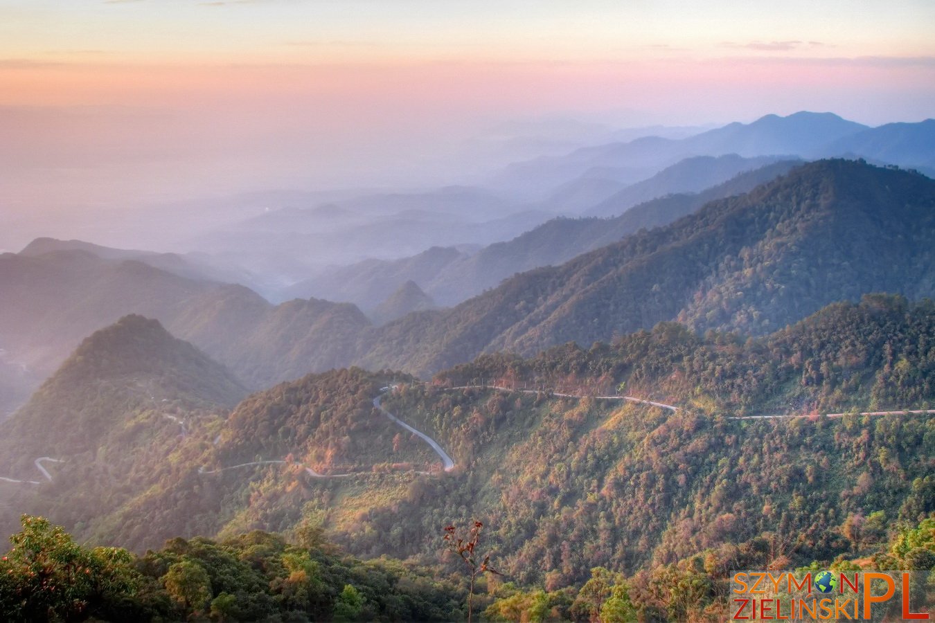
Sunrise at Doi Ang Khang, Chiang Mai province, Thailand.
Wschód słońca widziany z Doi Ang Khang, prowincja Chiang Mai, Tajlandia.
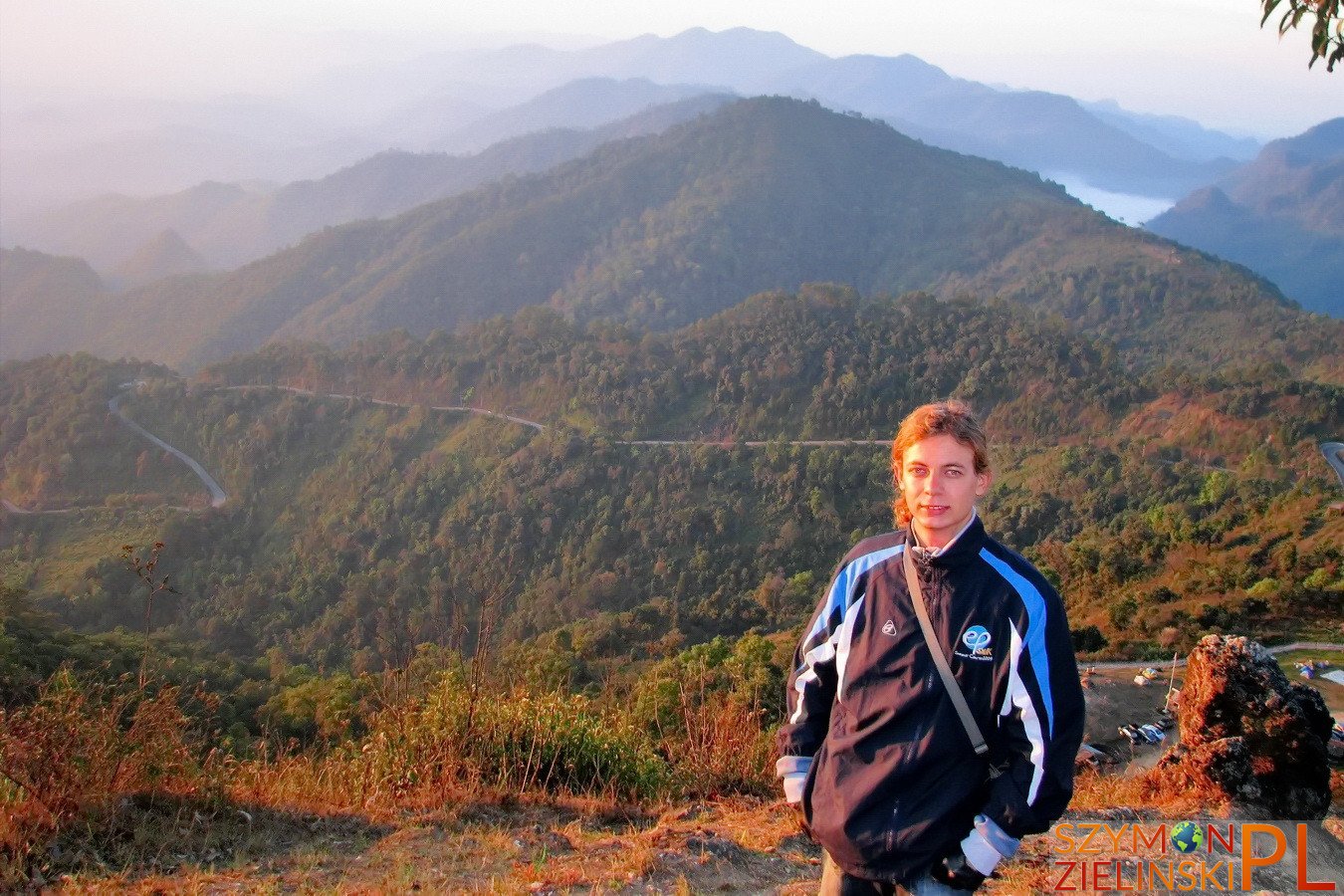
Me and sunrise at Doi Ang Khang, Chiang Mai province, Thailand.
Ja i wschód słońca widziany z Doi Ang Khang, prowincja Chiang Mai, Tajlandia.
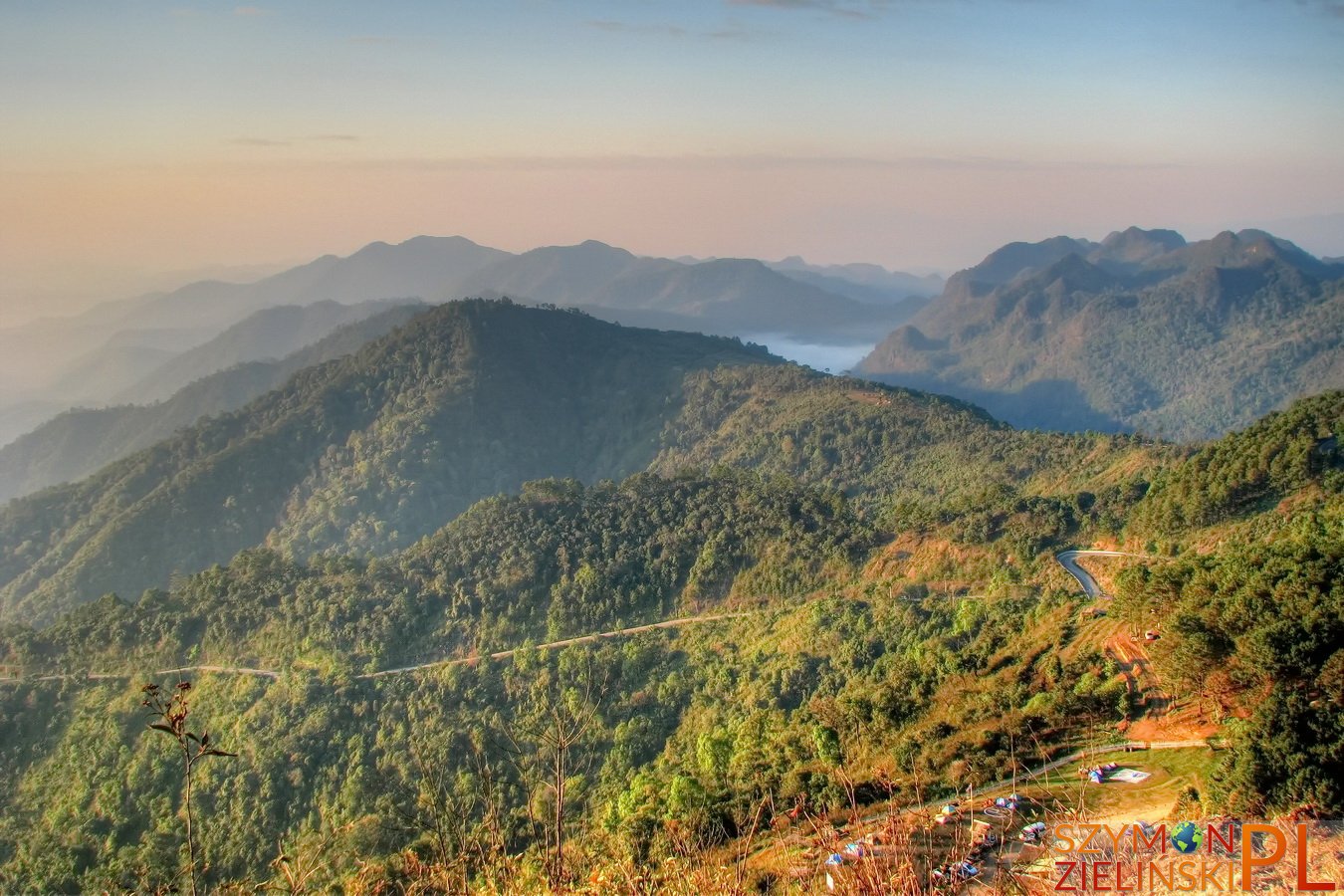
The view from army base – you can see the windy road. Doi Ang Khang, Chiang Mai province, Thailand.
Widok z bazy wojskowej – można zobaczyć drogę. Doi Ang Khang, prowincja Chiang Mai, Tajlandia.
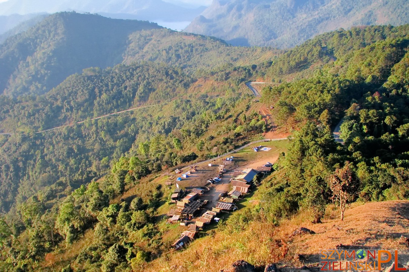
The view of army base and camp ground during sunrise. Doi Ang Khang, Chiang Mai province, Thailand.
Widok na bazę wojskową i pole namiotowe przy wschodzie słońca. Doi Ang Khang, prowincja Chiang Mai, Tajlandia.
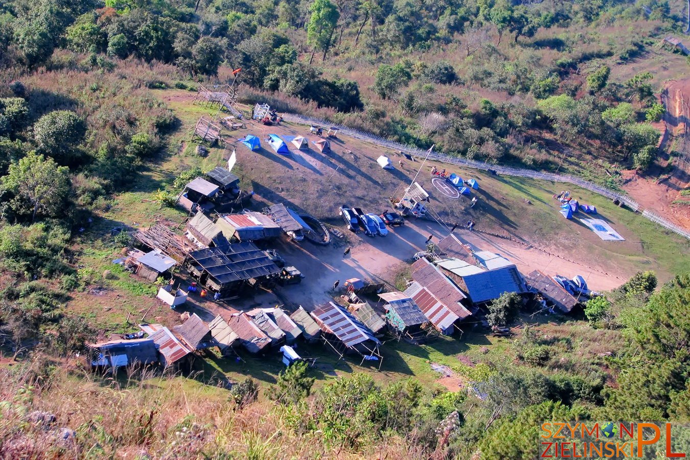
The view of army base and camp ground during sunrise. Doi Ang Khang, Chiang Mai province, Thailand.
Widok na bazę wojskową i pole namiotowe przy wschodzie słońca. Doi Ang Khang, prowincja Chiang Mai, Tajlandia.
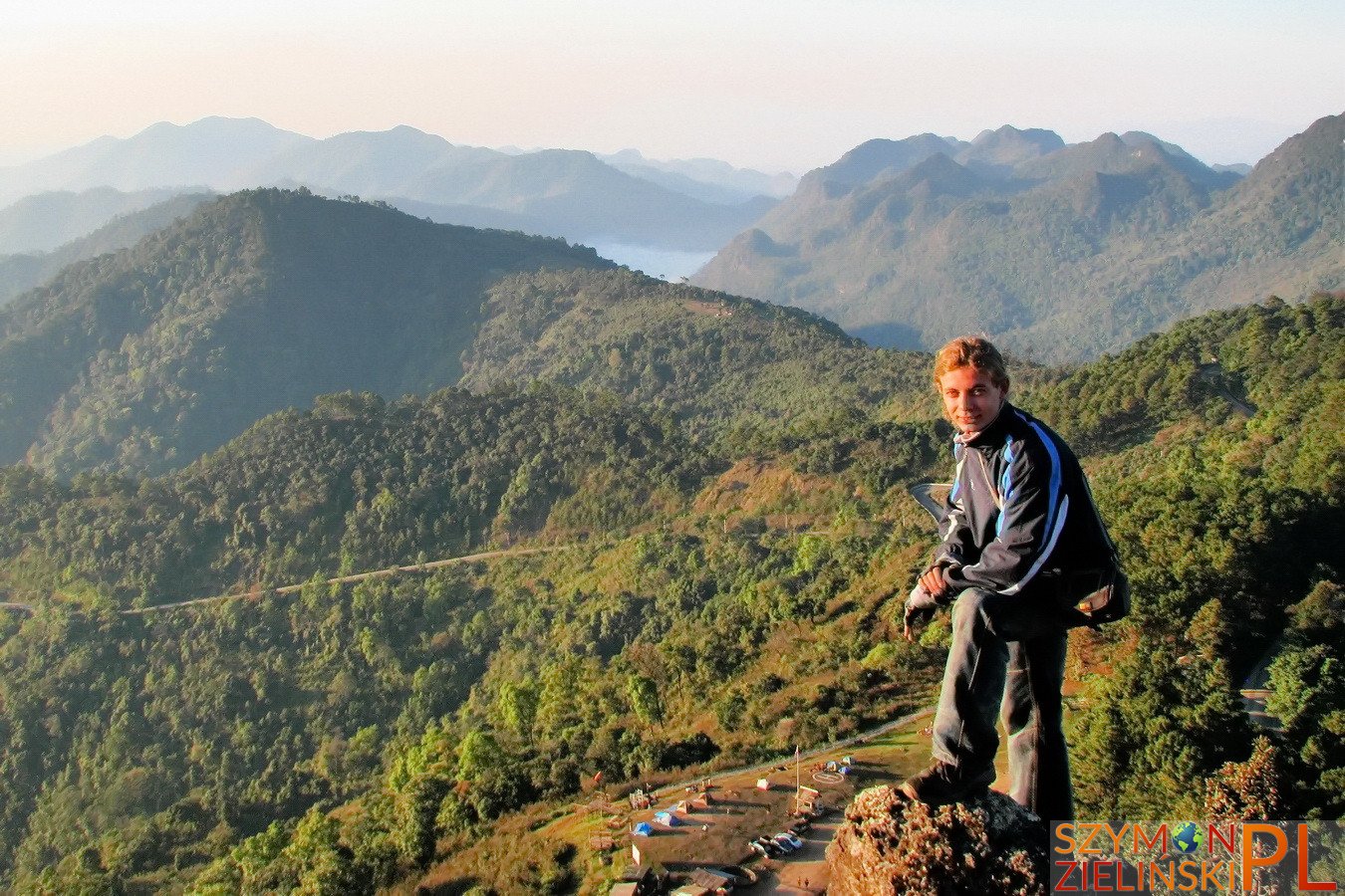
Me and the mountains. Doi Ang Khang, Chiang Mai province, Thailand.
Ja i góry. Doi Ang Khang, prowincja Chiang Mai, Tajlandia.
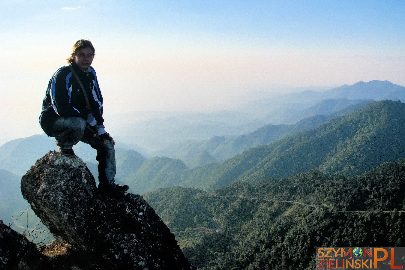
Me and the mountains. Doi Ang Khang, Chiang Mai province, Thailand.
Ja i góry. Doi Ang Khang, prowincja Chiang Mai, Tajlandia.
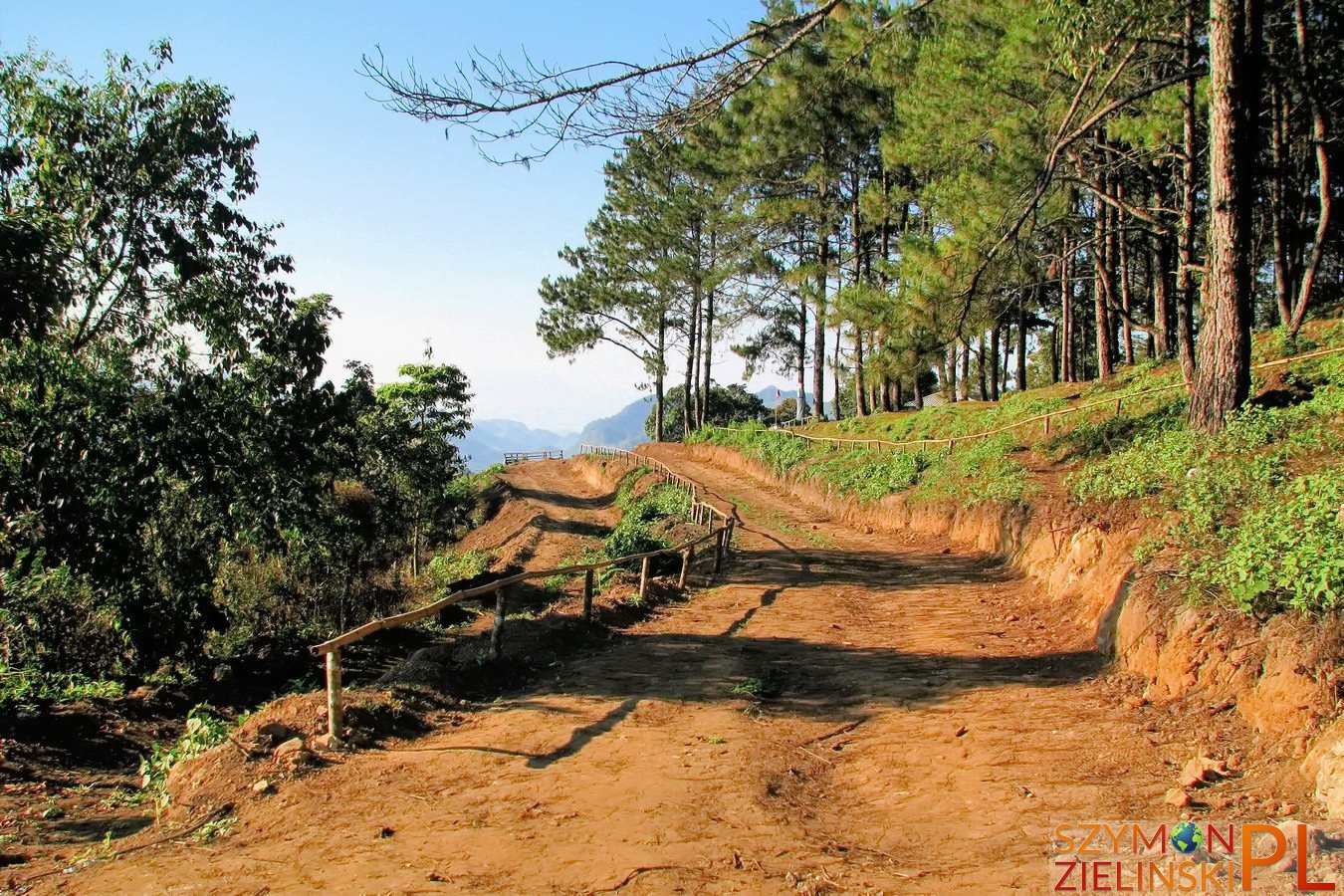
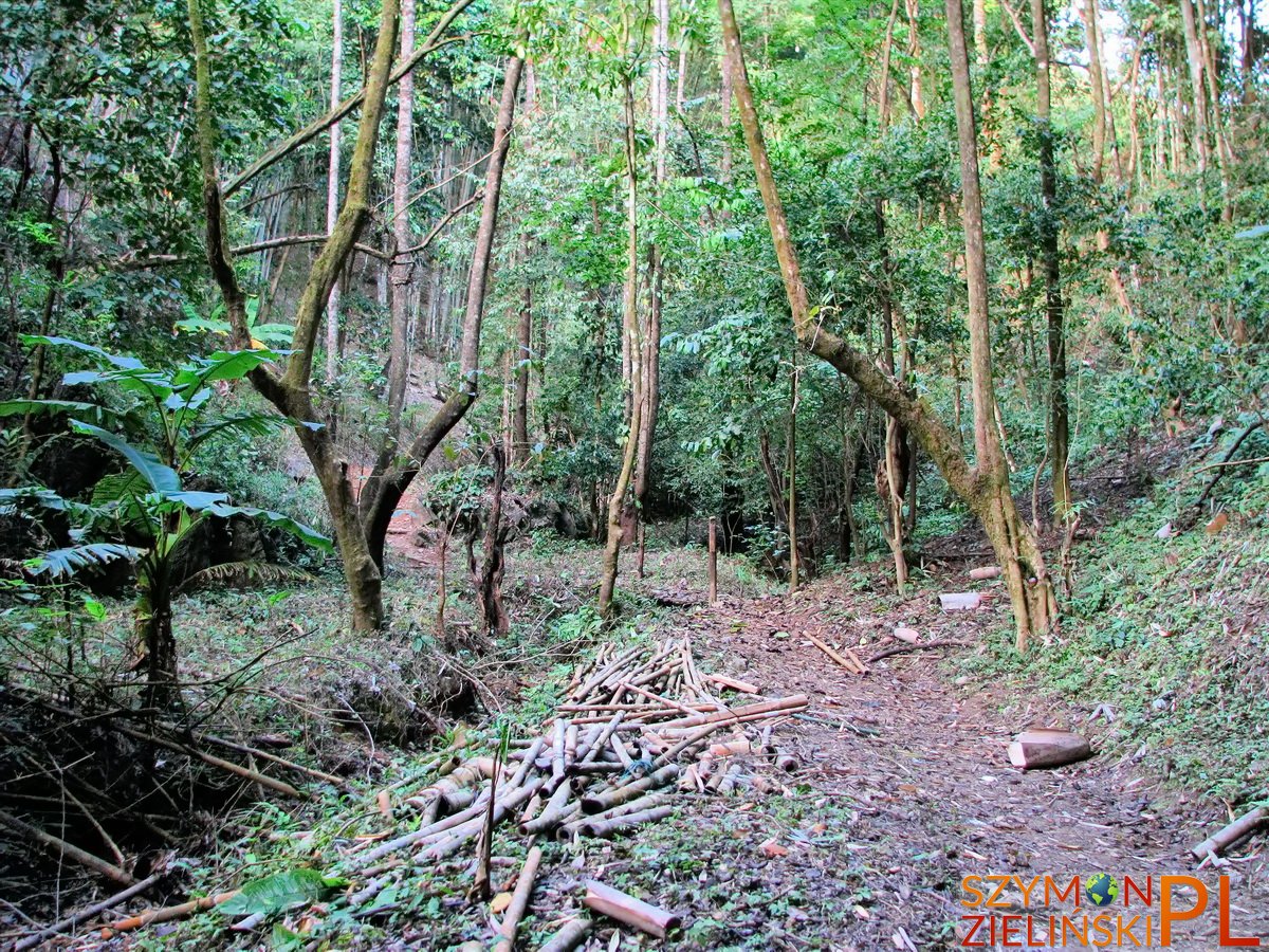
Dirt road at Doi Ang Khang. Chiang Mai province, Thailand
Utwardzona droga na Doi Ang Khang. Prowincja Chiang Mai, Tajlandia.
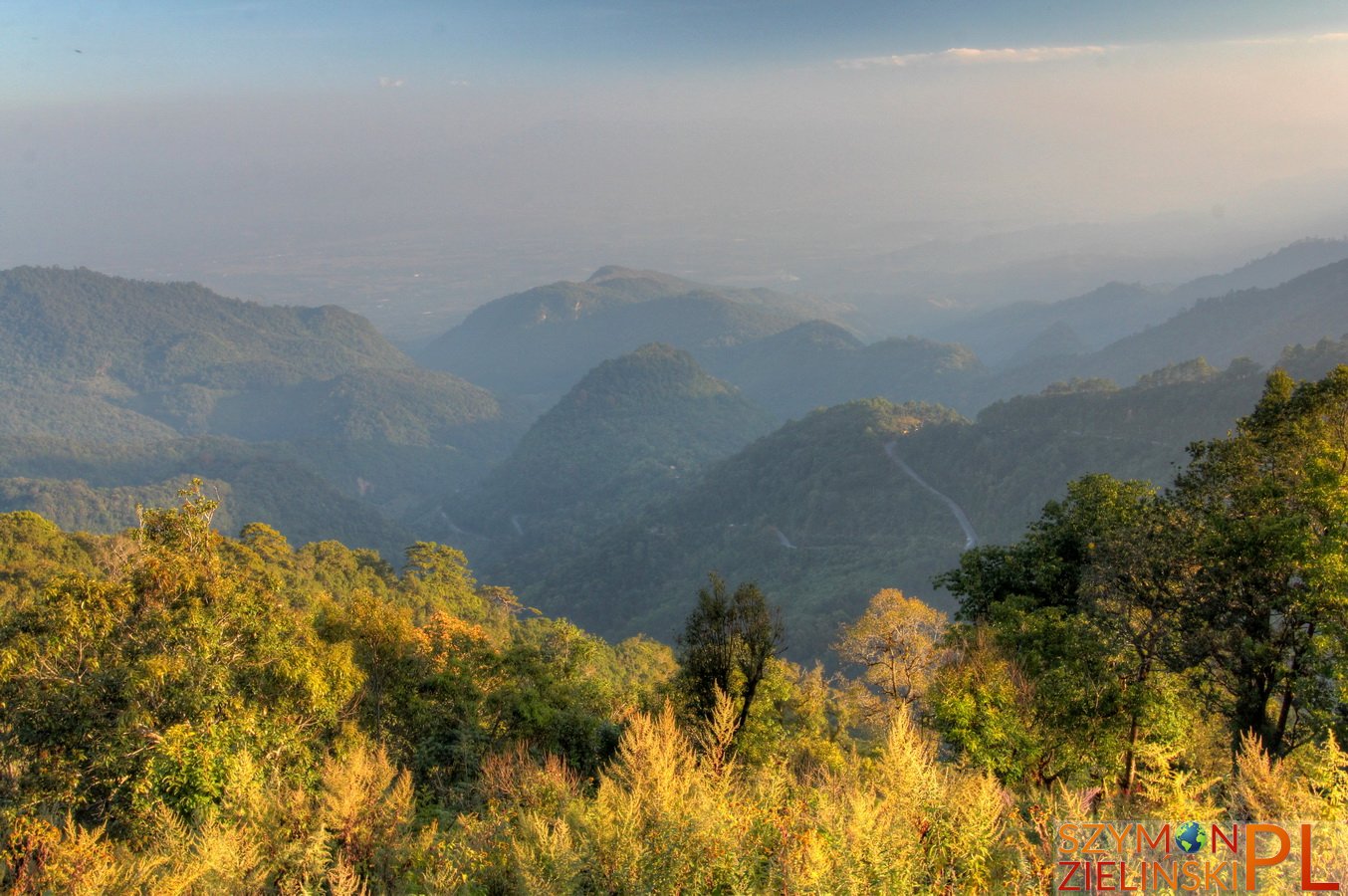
The view from army base – you can see the windy road. Doi Ang Khang, Chiang Mai province, Thailand.
Widok z bazy wojskowej – można zobaczyć krętą drogę. Doi Ang Khang, prowincja Chiang Mai, Tajlandia.
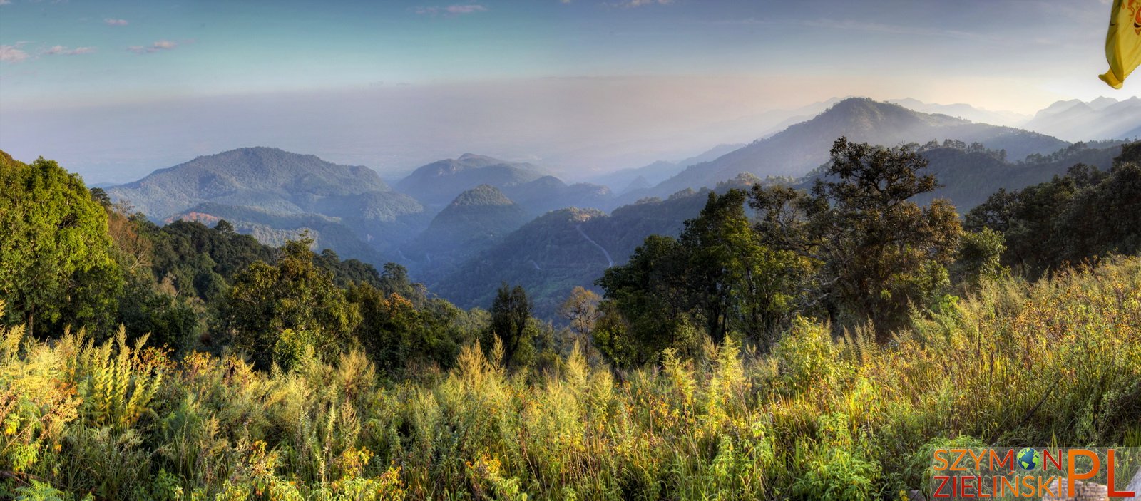
The view from army base. Doi Ang Khang, Chiang Mai province, Thailand.
Widok z bazy wojskowej. Doi Ang Khang, prowincja Chiang Mai, Tajlandia.
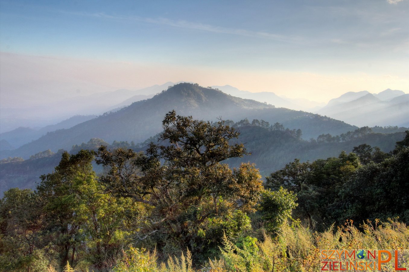
The view from army base. Doi Ang Khang, Chiang Mai province, Thailand.
Widok z bazy wojskowej. Doi Ang Khang, prowincja Chiang Mai, Tajlandia.
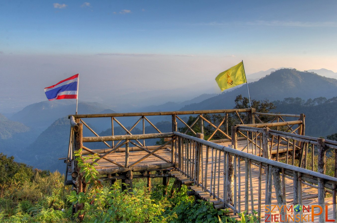
Viewpoint at the army base. Doi Ang Khang, Chiang Mai province, Thailand.
Punkt widokowy w bazie wojskowej. Doi Ang Khang, prowincja Chiang Mai, Tajlandia.
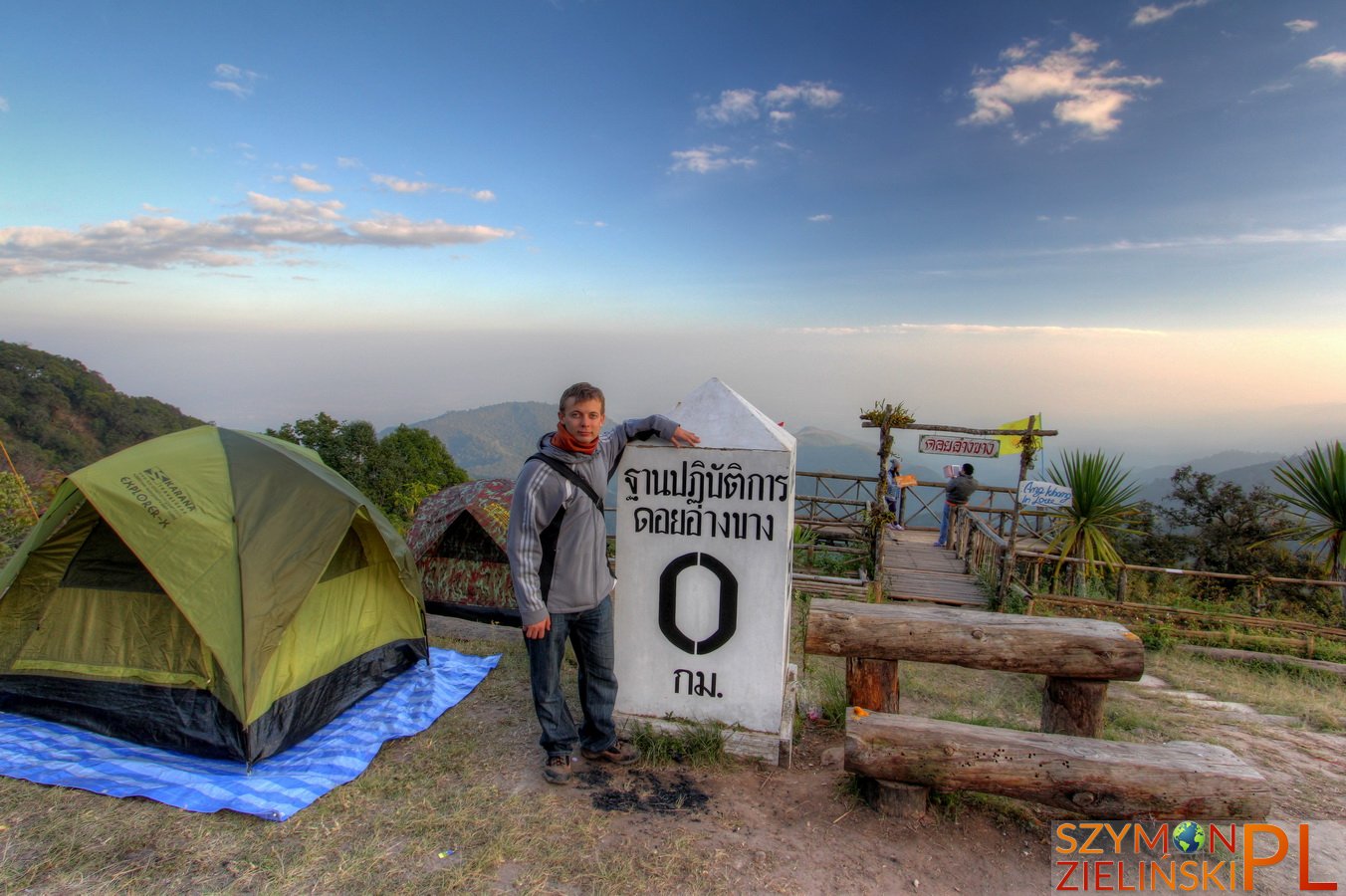
Me with the big km 0 marker. Doi Ang Khang, Chiang Mai province, Thailand.
Ja i wielki znacznik km 0. Doi Ang Khang, prowincja Chiang Mai, Tajlandia.
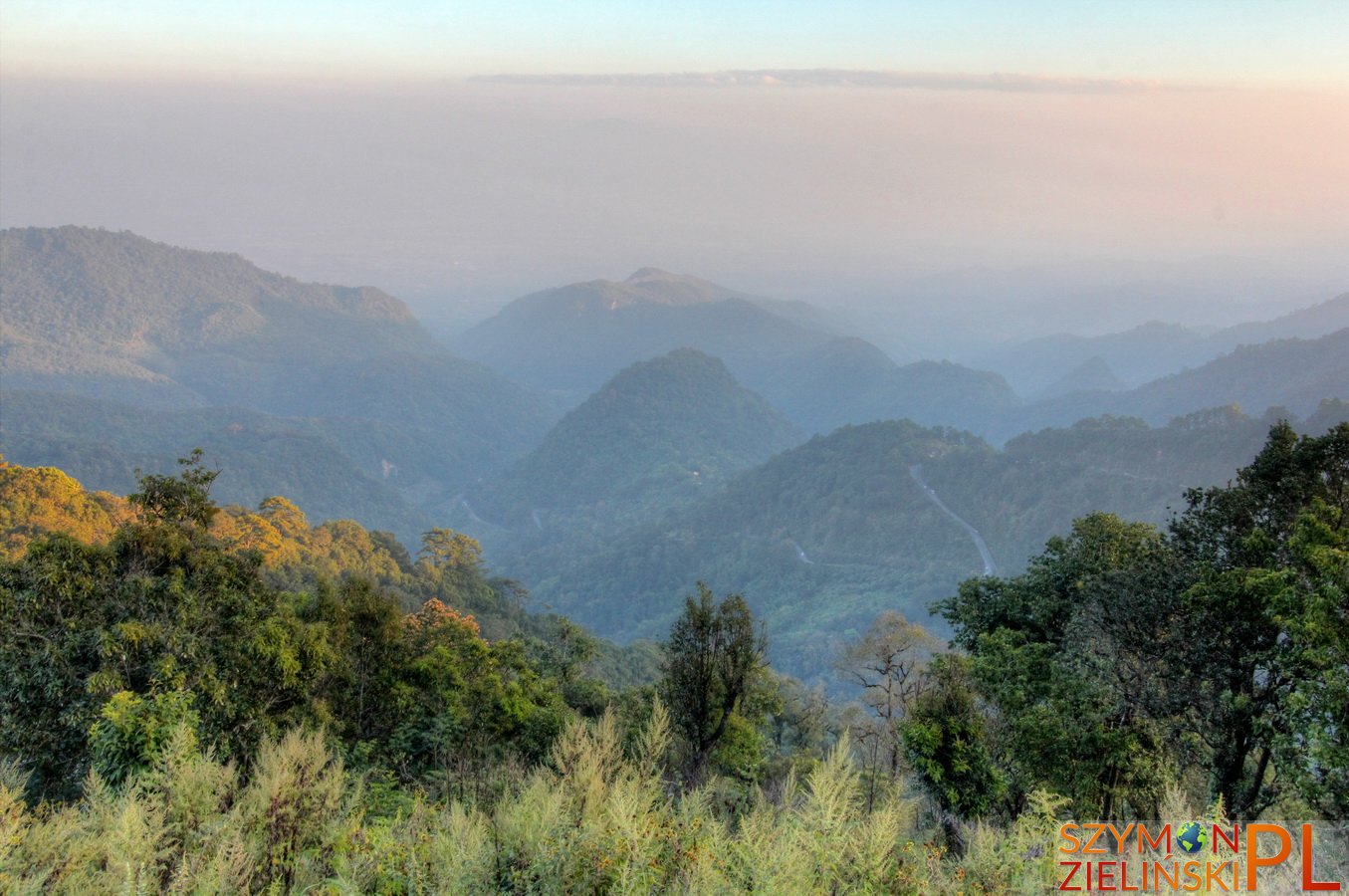
The view from army base. Doi Ang Khang, Chiang Mai province, Thailand.
Widok z bazy wojskowej. Doi Ang Khang, prowincja Chiang Mai, Tajlandia.
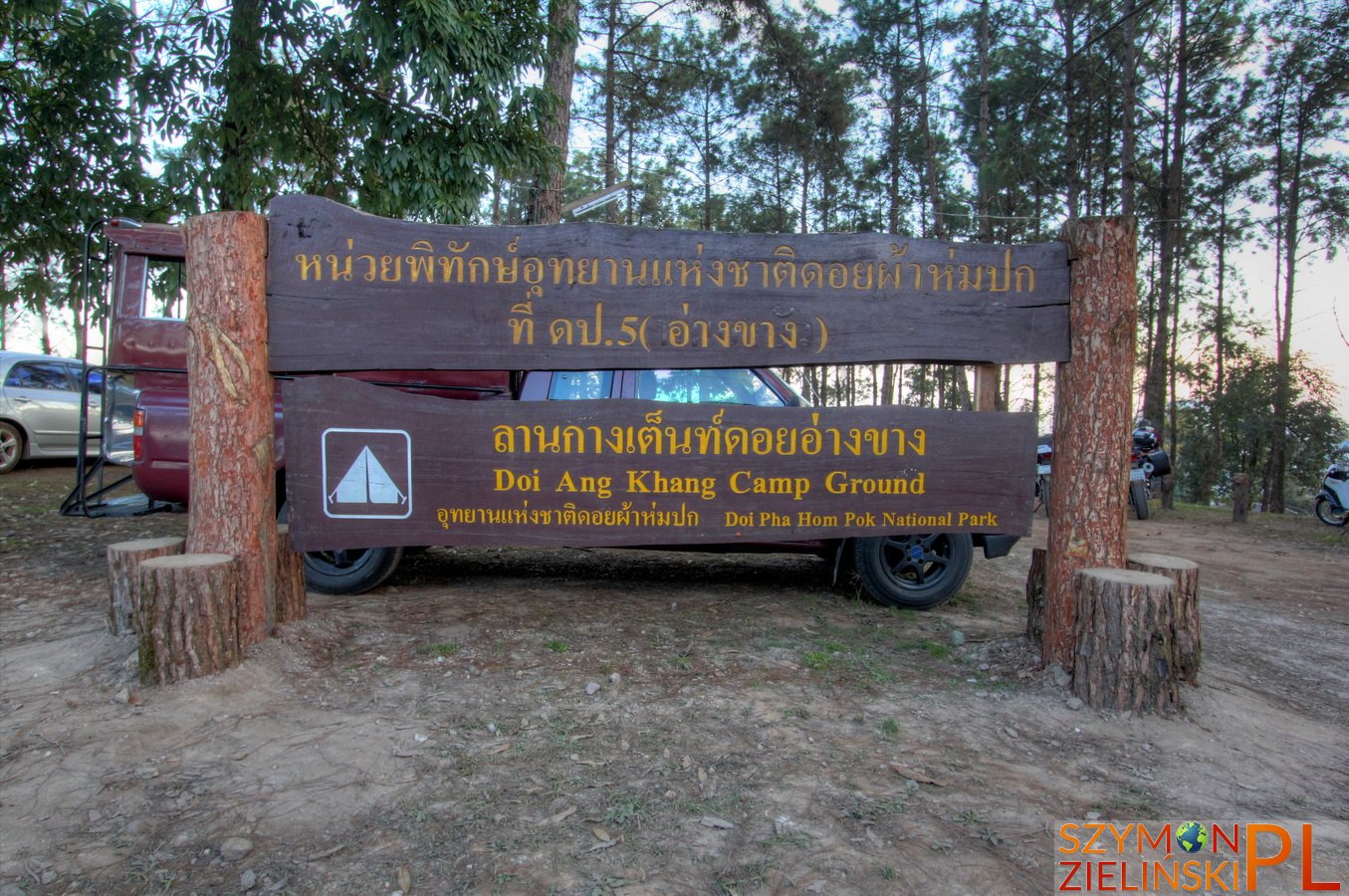
Camp ground sign. Doi Ang Khang, Chiang Mai province, Thailand.
Oznaczenie pola namiotowego. Doi Ang Khang, prowincja Chiang Mai, Tajlandia.
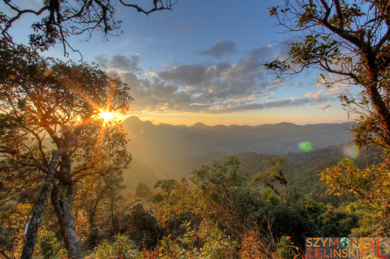
Sunset at Doi Ang Khang, Chiang Mai province, Thailand.
Zachód słońca widziany z Doi Ang Khang, prowincja Chiang Mai, Tajlandia.
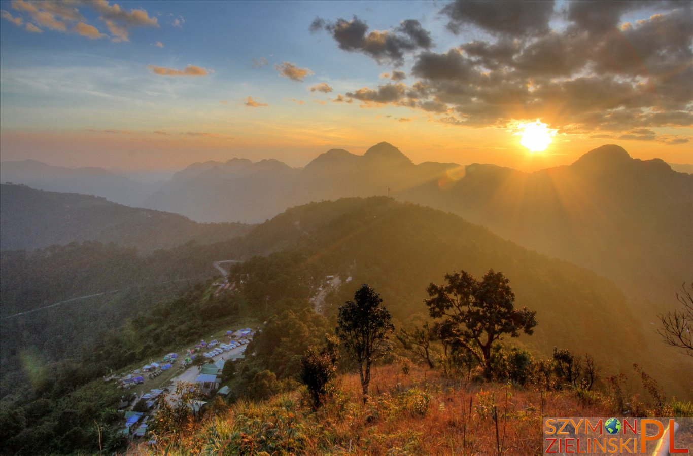
Sunset at Doi Ang Khang, Chiang Mai province, Thailand.
Zachód słońca widziany z Doi Ang Khang, prowincja Chiang Mai, Tajlandia.
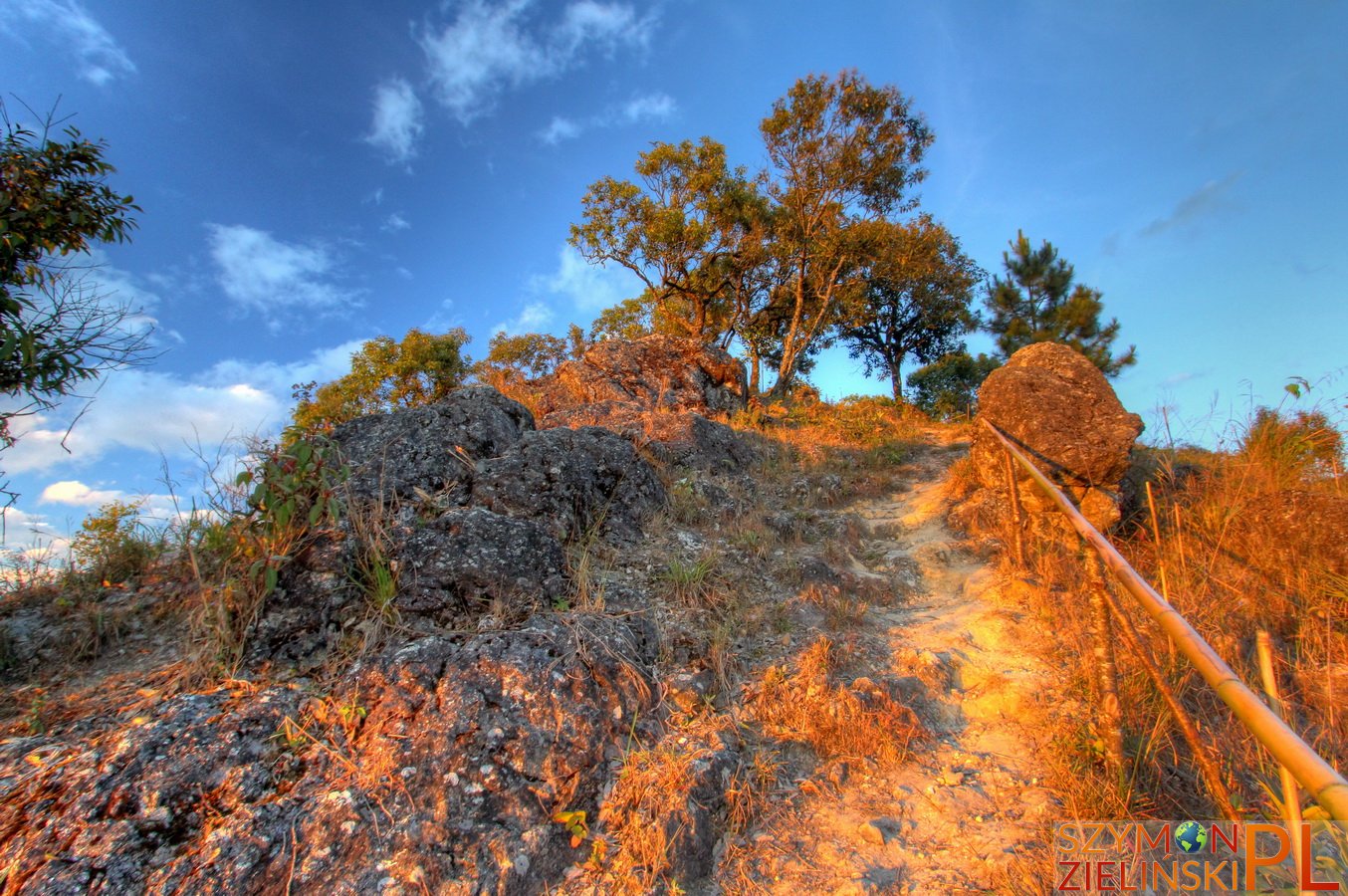
Around the summit of Doi Ang Khang, Chiang Mai province, Thailand.
Okolice szczytu Doi Ang Khang, prowincja Chiang Mai, Tajlandia.
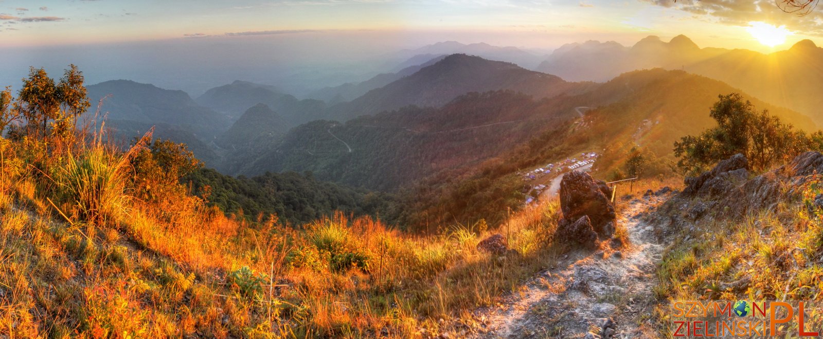
Sunset at Doi Ang Khang, Chiang Mai province, Thailand.
Zachód słońca widziany z Doi Ang Khang, prowincja Chiang Mai, Tajlandia.
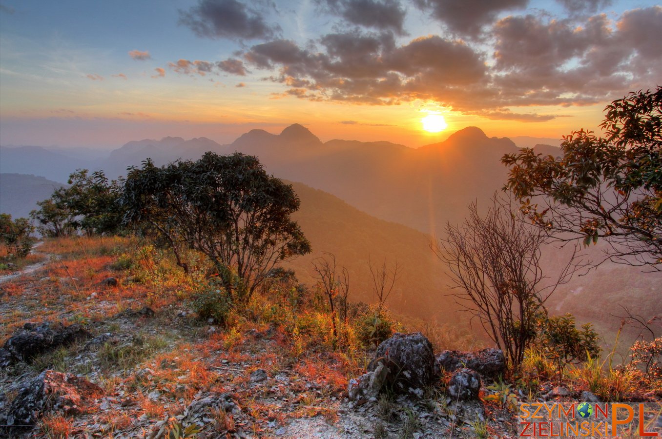
Sunset at Doi Ang Khang, Chiang Mai province, Thailand.
Zachód słońca widziany z Doi Ang Khang, prowincja Chiang Mai, Tajlandia.
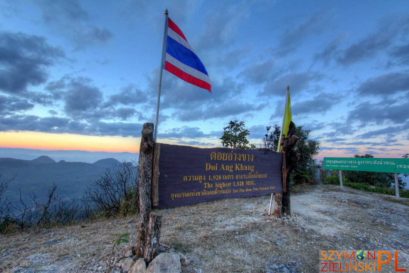
The summit of Doi Ang Khang. Chiang Mai province, Thailand.
Szczyt Doi Ang Khang. Prowincja Chiang Mai, Tajlandia.
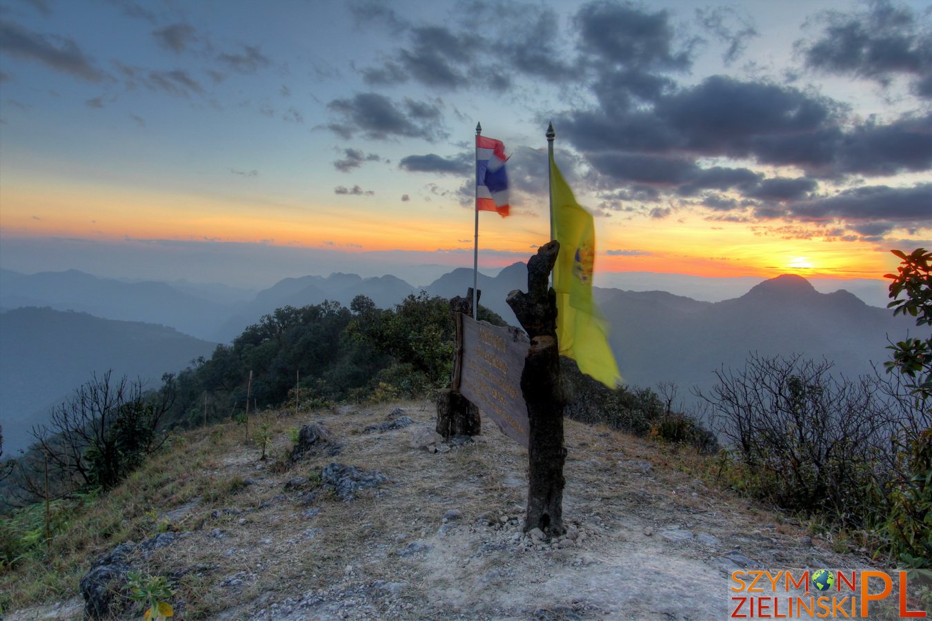
The summit of Doi Ang Khang, Chiang Mai province, Thailand.
Szczyt Doi Ang Khang, prowincja Chiang Mai, Tajlandia.
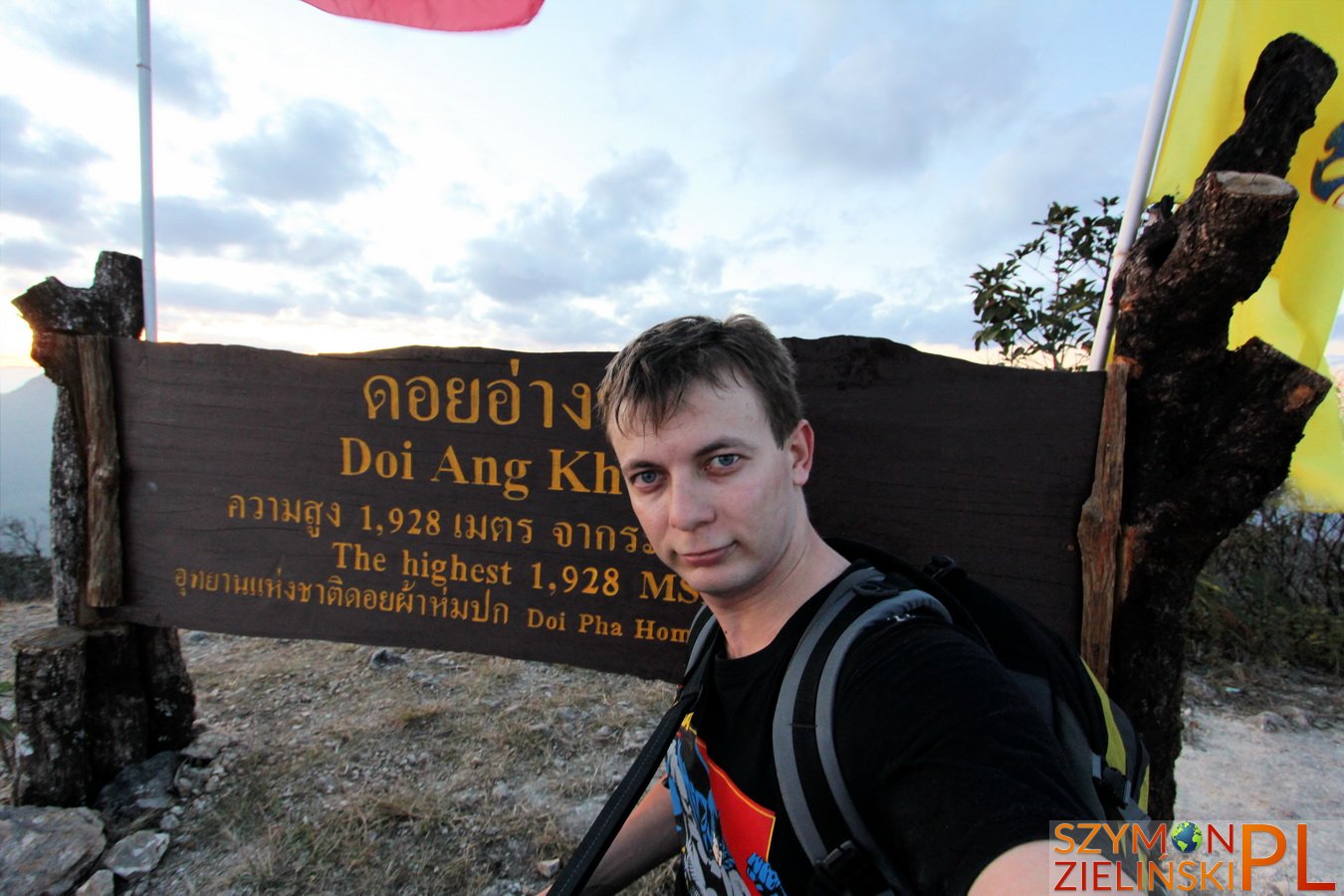
Me at the summit of Doi Ang Khang, Chiang Mai province, Thailand.
Ja na szczycie Doi Ang Khang, prowincja Chiang Mai, Tajlandia.
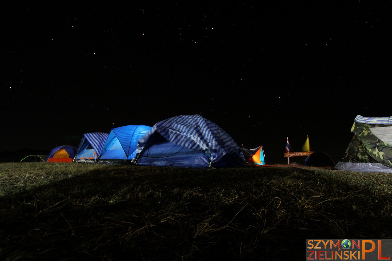
Beautiful starry sky at Doi Ang Khang – the air is crystal clear. Doi Ang Khang, Chiang Mai province, Thailand.
Piękne gwiaździste niebo nad Doi Ang Khang – powietrze jest nieskazitelnie czyste. Doi Ang Khang, prowincja Chiang Mai, Tajlandia.
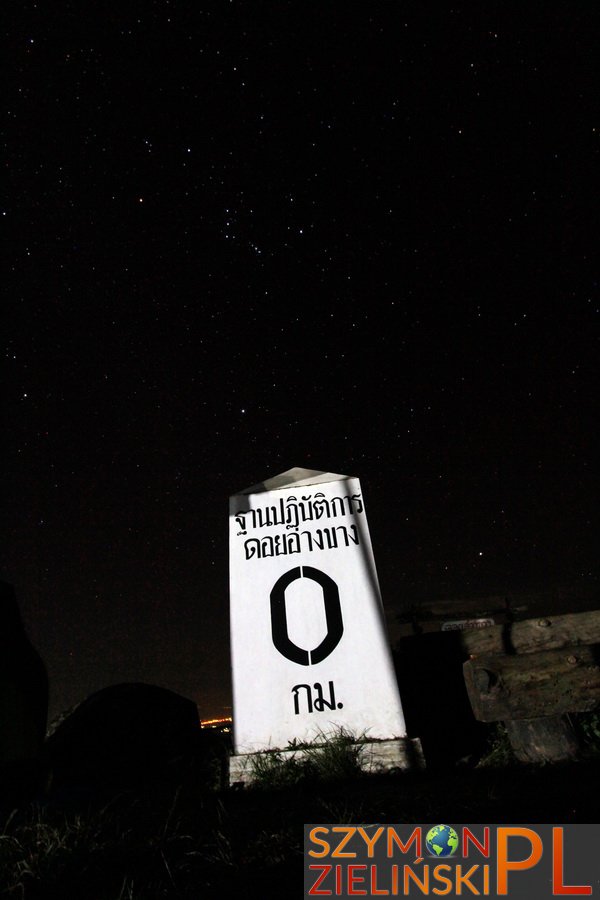
Beautiful starry sky at Doi Ang Khang – the air is crystal clear. Doi Ang Khang, Chiang Mai province, Thailand.
Piękne gwiaździste niebo nad Doi Ang Khang – powietrze jest nieskazitelnie czyste. Doi Ang Khang, prowincja Chiang Mai, Tajlandia.
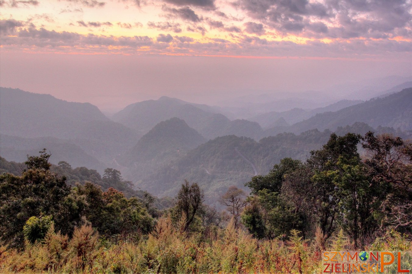
The view from army base – you can see the windy road. Doi Ang Khang, Chiang Mai province, Thailand.
Widok z bazy wojskowej – można zobaczyć krętą drogę. Doi Ang Khang, prowincja Chiang Mai, Tajlandia.
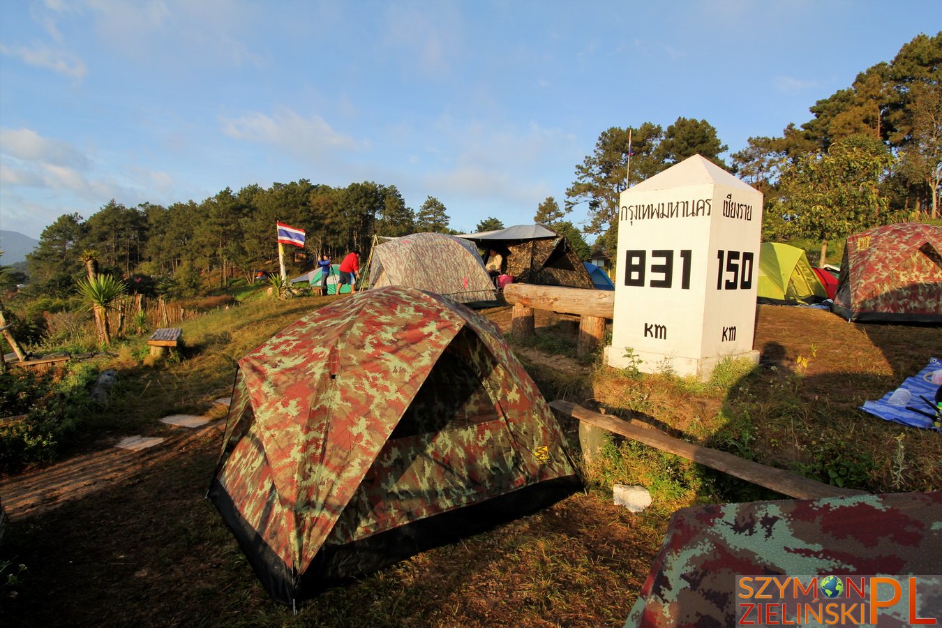
Army base and camp ground. Doi Ang Khang, Chiang Mai province, Thailand.
Baza wojskowa i pole namiotowe. Doi Ang Khang, prowincja Chiang Mai, Tajlandia.

Surroundings at sunrise. Doi Ang Khang, Chiang Mai province, Thailand.
Okolica podczas wschodu słońca. Doi Ang Khang, prowincja Chiang Mai, Tajlandia.
